Calai
Appearance
Calai | |
|---|---|
| Coordinates: 17°53′S 19°56′E / 17.883°S 19.933°E | |
| Country | |
| Province | Cuando Cubango |
| Population | |
| • Municipality | 22,654 |
| • Urban | 8,741 |
| Time zone | UTC+1 (WAT) |
| Climate | BSh |
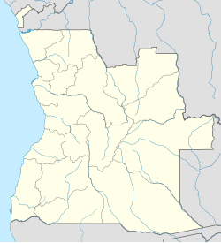
Calai is a town and municipality in Cuando Cubango Province in Angola.[3]
The municipality has an area of 7,900 km2 and a population of 22,654 (2014).[4] It is bordered to the north by the municipality of Nancova, to the east by the municipalities of Mavinga and Dirico, to the south by the Republic of Namibia, and to the west by the municipality of Cuangar. The municipality is constituted by the communes of Calai, Maué and Mavengue.[5]
References
- ^ "Resultados Definitivos Recenseamento Geral da População e Habitação – 2014 Província do Cuando Cubango" (PDF). Instituto Nacional de Estatística, República de Angola. Retrieved 3 May 2020.
- ^ Citypopulation.de Population of cities & urban localities in Angola
- ^ "City councils of Angola". Statoids. Retrieved April 7, 2009.
- ^ Citypopulation.de Population of provinces and municipalities in Angola
- ^ "Calai", Wikipédia, a enciclopédia livre (in Portuguese), 2018-08-21, retrieved 2019-01-02

