Con Dao Airport
Appearance
Côn Sơn Airport Sân bay Côn Sơn | |||||||||||
|---|---|---|---|---|---|---|---|---|---|---|---|
 Con Dao airport | |||||||||||
| Summary | |||||||||||
| Airport type | Public | ||||||||||
| Operator | Southern Airports Authority | ||||||||||
| Location | Côn Đảo | ||||||||||
| Elevation AMSL | 20 ft / 6 m | ||||||||||
| Coordinates | 08°43′57″N 106°37′44″E / 8.73250°N 106.62889°E | ||||||||||
| Website | condaoairport | ||||||||||
| Map | |||||||||||
 | |||||||||||
| Runways | |||||||||||
| |||||||||||
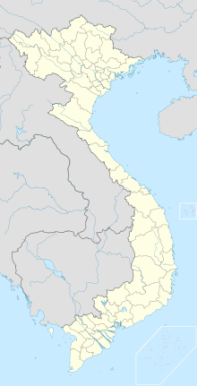
Côn Đảo Airport or Côn Sơn Airport (IATA: VCS, ICAO: VVCS) (Vietnamese: Sân bay Côn Đảo or Cảng hàng không Côn Đảo) is located on Côn Sơn Island, the largest island of Côn Đảo archipelago off the coast of Bà Rịa–Vũng Tàu province, Vietnam.
Airlines and destinations
| Airlines | Destinations |
|---|---|
| Bamboo Airways | Can Tho, Da Nang,[1] Hai Phong, Hanoi,[2] Thanh Hoa,[1] Vinh[2] |
| Southern Service Flight Company | Vung Tau |
| Vietnam Airlines | Can Tho, Ho Chi Minh City |
Statistics

| Rank | Destinations | Frequency (Weekly) |
|---|---|---|
| 1 | Ho Chi Minh City | 27 |
| 2 | Cần Thơ | 4 |
See also
References
- ^ a b "CHÍNH THỨC MỞ BÁN CÁC ĐƯỜNG BAY CẦN THƠ/ĐÀ NẴNG/VINH – CÔN ĐẢO". Bamboo Airways (in Vietnamese). 30 October 2020. Retrieved 1 November 2020.
- ^ a b "Nhiều cơ hội, lắm thách thức khi Bamboo Airways bay thẳng tới Côn Đảo". Vietnambiz (in Vietnamese). 14 September 2020. Retrieved 15 September 2020.
External links

