Rạch Giá Airport
This article needs additional citations for verification. (January 2009) |
Rach Gia Airport Sân bay Rạch Giá | |||||||||||
|---|---|---|---|---|---|---|---|---|---|---|---|
| Summary | |||||||||||
| Airport type | Public | ||||||||||
| Operator | Southern Airports Services Company | ||||||||||
| Location | Rach Gia | ||||||||||
| Elevation AMSL | 7 ft / 2 m | ||||||||||
| Coordinates | 9°57′35″N 105°8′2″E / 9.95972°N 105.13389°E | ||||||||||
| Website | rachgiaairport | ||||||||||
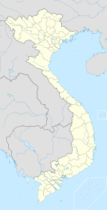
| Map | |||||||||||
| Runways | |||||||||||
| |||||||||||
Rach Gia Airport (IATA: VKG, ICAO: VVRG) (Vietnamese: Sân bay Rạch Giá) is an airport located in Rach Gia, Vietnam. The airport was built in the 1950s by the French. It original purpose was to connect Saigon to the Southwestern portion of Vietnam.[1]
Airlines and destinations
| Airlines | Destinations |
|---|---|
| Vietnam Airlines operated by VASCO | Ho Chi Minh City |
See also
References
- ^ "CẢNG HÀNG KHÔNG RẠCH GIÁ". ACV. Retrieved 2019-04-22.

