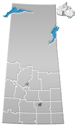
Division No. 2, Saskatchewan
Appearance
Division No. 2, Saskatchewan, Canada, is one of the eighteen census divisions within the province, as defined by Statistics Canada. It is located in the south-southeastern part of the province, on the United States border. The most populous community in this division is Weyburn. According to the 2006 census, 20,363 people lived in this division. It has a land area of 16,859.18 km² (6,509.36 sq mi).
Communities
City
Towns
Villages
|
|
Rural Municipalities
- RM No. 6 Cambria
- RM No. 7 Souris Valley
- RM No. 8 Lake Alma
- RM No. 9 Surprise Valley
- RM No. 10 Happy Valley
- RM No. 36 Cymri
- RM No. 37 Lomond
- RM No. 38 Laurier
- RM No. 39 The Gap
- RM No. 40 Bengough
- RM No. 66 Griffin
- RM No. 67 Weyburn
- RM No. 68 Brokenshell
- RM No. 69 Norton
- RM No. 70 Key West
- RM No. 96 Fillmore
- RM No. 97 Wellington
- RM No. 98 Scott
- RM No. 99 Caledonia
- RM No. 100 Elmsthorpe
Indian reserves
- Indian Reserve --Piapot Cree First Nation 75H
See also
Footnotes
- ^ a b Statistics Canada. 2002 2001 Community Profiles. Released June 27, 2002. Last modified: 2005-11-30. Statistics Canada Catalogue no. 93F0053XIE. Page accessed January 5, 2007
References
- Division. No. 2, Saskatchewan Statistics Canada

