Essen/Mülheim Airport
Appearance
You can help expand this article with text translated from the corresponding article in German. (June 2016) Click [show] for important translation instructions.
|
Essen/Mülheim Airport Flughafen Essen/Mülheim | |||||||||||
|---|---|---|---|---|---|---|---|---|---|---|---|
| Summary | |||||||||||
| Airport type | Public | ||||||||||
| Serves | Mülheim/Essen and the eastern Rhine-Ruhr area, Germany | ||||||||||
| Elevation AMSL | 130 m / 427 ft | ||||||||||
| Coordinates | 51°24′12″N 006°56′24″E / 51.40333°N 6.94000°E | ||||||||||
| Map | |||||||||||
 | |||||||||||
| Runways | |||||||||||
| |||||||||||
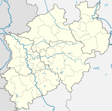
Essen/Mülheim Airport (IATA: ESS, ICAO: EDLE), is an airport located 6 km (3.7 mi) south-west of Essen and 3 km (1.9 mi) south-east[1] of Mülheim, North Rhine-Westphalia. It serves the eastern Rhine-Ruhr area, the largest urban agglomeration in Germany, and is mainly used for low-cost and leisure charter flights.
See also
References
External links
![]() Media related to Flughafen Essen/Mülheim at Wikimedia Commons
Media related to Flughafen Essen/Mülheim at Wikimedia Commons

