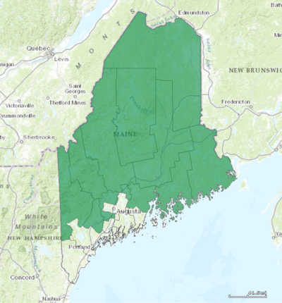
Maine's congressional districts
Appearance

Maine is divided into 2 congressional districts, each represented by an elected member of the United States House of Representatives.
Unlike every other US State except for Nebraska, Maine apportions two of its Electoral College votes according to congressional district, making each district its own separate battleground in US presidential elections.
Current districts and representatives
The districts are currently represented in the 113th United States Congress by 1 Republican and 1 Democrat.
| District | Representative | Party | CPVI | Time in office | District map |
|---|---|---|---|---|---|
| 1st |  Chellie Pingree (D-North Haven) Chellie Pingree (D-North Haven)
|
Democratic | D+8 | January 3, 2009 – present | 
|
| 2nd |  Bruce Poliquin (R-Waterville) Bruce Poliquin (R-Waterville)
|
Republican | R+2 | January 3, 2015 – present | 
|
Historical and present district boundaries
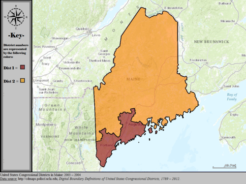
Table of United States congressional district boundary maps in the State of Maine, presented chronologically.[2] All redistricting events that took place in Maine between 1973 and 2013 are shown.
| Year | Statewide map |
|---|---|
| 1973–1982 | 
|
| 1983–1992 | 
|
| 1993–1994 | 
|
| 1995–2002 | 
|
| 2003–2004 | 
|
| 2005–2013 | 
|
| Since 2013 | 
|
Obsolete districts
- Maine's at-large congressional district
- Maine's 3rd congressional district
- Maine's 4th congressional district
- Maine's 5th congressional district
- Maine's 6th congressional district
- Maine's 7th congressional district
- Maine's 8th congressional district
See also
References
- ^ "The national atlas". nationalatlas.gov. Archived from the original on February 22, 2014. Retrieved February 22, 2014.
{{cite web}}: Unknown parameter|deadurl=ignored (|url-status=suggested) (help) - ^ "Digital Boundary Definitions of United States Congressional Districts, 1789–2012". Retrieved October 18, 2014.
