Roeburndale
| Roeburndale | |
|---|---|
 Roeburndale Methodist Chapel | |
Location within Lancashire | |
| Population | 76 (2001) |
| OS grid reference | SD6063 |
| Civil parish |
|
| District | |
| Shire county | |
| Region | |
| Country | England |
| Sovereign state | United Kingdom |
| Post town | LANCASTER |
| Postcode district | LA2 |
| Dialling code | 015242 |
| Police | Lancashire |
| Fire | Lancashire |
| Ambulance | North West |
| UK Parliament | |
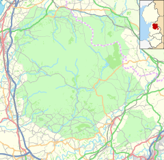
Roeburndale is a civil parish in the City of Lancaster and the English county of Lancashire. It has a population of 76.[1] The parish includes the village of Salter.
See also
References
- ^ Office for National Statistics : Census 2001 : Parish Headcounts : Lancaster Retrieved 14 February 2010


