Mount Challenger
Appearance
| Mount Challenger | |
|---|---|
| Highest point | |
| Coordinates | 51°42′29″S 58°07′48″W / 51.708°S 58.130°W |
| Geography | |
| Location | East Falkland, Falkland Islands, south Atlantic Ocean |

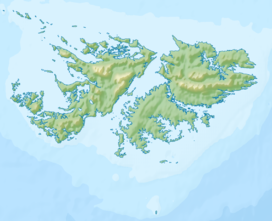
Mount Challenger is a mountain on East Falkland, Falkland Islands.[1] It is south of Mount Kent. The area saw some action during the Falklands War, and some of it is still mined. The Murrell River rises on Mount Challenger.
References
- ^ Strange, Ian (1983) The Falkland Islands

