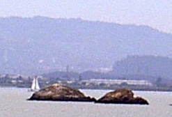
The Sisters (California)

The Sisters are two small rock islands in San Pablo Bay, located 500 meters (1,600 ft) northeast of Point San Pedro in Marin County, California.
The Sisters, along with The Brothers on the opposite side of the San Pablo Strait, were originally reserved for military purposes by order of President Andrew Johnson in 1867. After many a court battle the plans were scrapped.[1]
See also

37°59′18″N 122°26′28″W / 37.98833°N 122.44111°W[2]
References
- ^ "East Brother Lighthouse". Retrieved 8 July 2012.
- ^ U.S. Geological Survey Geographic Names Information System: The Sisters

