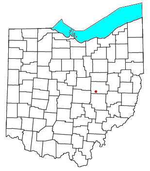
Wakatomika, Ohio
Appearance

Wakatomika[1] is an unincorporated community in central Washington Township, Coshocton County, Ohio, United States. Wakatomika is located on the Little Wakatomika Creek, and lies along State Route 60.
A post office was established at Wakatomika in 1823, and remained in operation until 1909.[2] The community is named after the Shawnee village of Wakatomika,[3] which was located along the Muskingum River near the present day site of Dresden.
References
- ^ U.S. Geological Survey Geographic Names Information System: Wakatomika, Ohio
- ^ "Coshocton County". Jim Forte Postal History. Retrieved 7 December 2015.
- ^ Graham, Albert Adams (1881). History of Coshocton County, Ohio: Its Past and Present, 1740-1881. A. A. Graham. p. 199.
40°11′55″N 82°02′49″W / 40.19861°N 82.04694°W

