
Cape Cod National Seashore
| Cape Cod National Seashore | |
|---|---|
IUCN category V (protected landscape/seascape) | |
| Lua error in Module:Location_map at line 526: Unable to find the specified location map definition: "Module:Location map/data/Cape Cod National Seashore.png" does not exist. | |
| Location | Barnstable County, Massachusetts, USA |
| Nearest city | Barnstable, Massachusetts |
| Area | 43,607.14 acres (68.1 sq mi; 176.5 km2)[1] |
| Established | August 7, 1961 |
| Visitors | 4,426,750 (in 2014)[2] |
| Governing body | National Park Service |
| Website | Cape Cod National Seashore |
The Cape Cod National Seashore (CCNS), created on August 7, 1961 by President John F. Kennedy,[3][4] encompasses 43,607 acres (68.1 sq mi; 176.5 km2)[1] on Cape Cod, in Massachusetts. It includes ponds, woods and beachfront of the Atlantic coastal pine barrens ecoregion. The CCNS includes nearly 40 miles (64 km) of seashore along the Atlantic-facing eastern shore of Cape Cod, in the towns of Provincetown, Truro, Wellfleet, Eastham, Orleans and Chatham. It is administered by the National Park Service.
Places of interest
Notable sites encompassed by the CCNS include Marconi Station, site of the first two-way transatlantic radio transmission, and the Highlands Center for the Arts, formerly the North Truro Air Force Station. Dune Shacks of Peaked Hill Bars Historic District is a 1,950-acre historic district containing dune shacks and the dune environment. The glacial erratic known as Doane Rock is also located in the park.
A former United States Coast Guard station on the ocean in Truro is now operated as a 42-bed youth hostel by Hostelling International USA.[5]
There are several paved bike trails:[6]
- Nauset Bike Trail - Eastham
- Head of the Meadow Trail - Truro
- Province Lands Trails - Provincetown
Restoration efforts
As part of the NPS Centennial Initiative, the Herring River estuary will be restored to its natural state through removal of dikes and drains that date back to 1909.[7]
Gallery
-
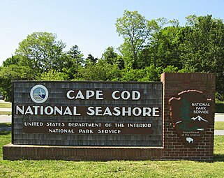 An entrance to the Cape Cod National Seashore in Eastham, Massachusetts
 -
 Cape Cod National Seashore
 -
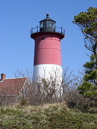 Nauset Light
 -
 View from Highland Light
 -
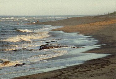
 Marconi Beach
 -
 Late July Sunset at Race Point Beach
 -
 Salt Pond Visitor Center


See also
References
- ^ a b "Listing of acreage – December 31, 2014" (XLSX). Land Resource Division, National Park Service. Retrieved 2015-08-26. (National Park Service Acreage Reports)
- ^ "NPS Annual Recreation Visits Report". National Park Service. Retrieved 2015-08-26.
- ^ "Bill signing - S. 857 Public Law 87-126, Cape Cod National Seashore Act, 11:47AM". John F. Kennedy Presidential Library and Museum.
- ^ "Cape Cod National Seashore Act - P.L. 87-126" (PDF). 75 Stat. 284. U.S. Government Printing Office.
{{cite web}}: External link in|work= - ^ hiusa.org
- ^ nps.gov
- ^ "Herring River Tidal Restoration Project". National Park Service. July 2011. Retrieved 2013-05-31.
External links
- Cape Cod National Seashore. National Park Service website.
- Coastal Landforms and Processes at the Cape Cod National Seashore, Massachusetts: A Primer U.S. Geological Survey
- Park map showing roads, beaches, and trails. National Park Service map pdf.
- "The Penniman House: A Whaling Story". A National Park Service Teaching with Historic Places (TwHP) lesson plan.
- Official Website of Cape Cod Beaches. A community project for all Massachusetts beach information and their geocoordinates.
 Cape Cod National Seashore travel guide from Wikivoyage
- IUCN Category V
- Massachusetts natural resources
- Landmarks in Massachusetts
- Chatham, Massachusetts
- Eastham, Massachusetts
- Orleans, Massachusetts
- Truro, Massachusetts
- Wellfleet, Massachusetts
- Cape Cod National Seashore
- Provincetown, Massachusetts
- Dunes of the United States
- National Seashores of the United States
- Protected areas of Massachusetts
- Protected areas established in 1961
- 1961 establishments in Massachusetts
- Landforms of Massachusetts
- Landforms of Barnstable County, Massachusetts