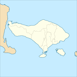
Kintamani, Bali
Kintamani | |
|---|---|
 Mount Batur seen from Kintamani | |
| Coordinates: 8°15′29″S 115°19′43″E / 8.25806°S 115.32861°E | |
| Country | Indonesia |
| Province | Bali |
| Regency | Bangli |
Kintamani is a village on the western edge of the larger caldera wall of the Mount Batur (Gunung Batur) caldera in Bali, Indonesia. It is on the same north–south road as Penelokan and has been used as a stopping place to view the Mount Batur region. Kintamani is also known for Pura Tuluk Biyu's 1,000-year-old "Rites of Peace" stone tablets and the Kintamani dog breed.[1] It is situated next to Mount Batur.[2] [3]
References
External links
 Media related to Kintamani, Bali at Wikimedia Commons

