Mati Airport
Appearance
Mati Regional Airport | |||||||||||
|---|---|---|---|---|---|---|---|---|---|---|---|
| Summary | |||||||||||
| Airport type | Public | ||||||||||
| Operator | Air Transportation Office | ||||||||||
| Serves | Mati | ||||||||||
| Location | Barangay Dahican, Mati, Davao Oriental | ||||||||||
| Elevation AMSL | 48 m / 157 ft | ||||||||||
| Coordinates | 06°57′01″N 126°16′21″E / 6.95028°N 126.27250°E | ||||||||||
| Map | |||||||||||
 | |||||||||||
| Runways | |||||||||||
| |||||||||||
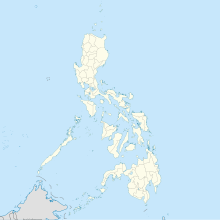
Mati Airport (IATA: MXI, ICAO: RPMQ) (Filipino: Paliparan ng Mati, Cebuano: Tugpahanan sa Mati), formerly Imelda R. Marcos Airport, is an airport that serves the general area of Mati, the capital city of the province of Davao Oriental in the Philippines. It is the only airport in Davao Oriental. The airport is classified as a secondary airport by the Air Transportation Office, a body of the Department of Transportation and Communications that is responsible for the operations of not only this airport but also of all other airports in the Philippines except the major international airports. There are no flights serving Mati however domestic and international air services are available to and from Davao City.

