Dallas Reef
| Disputed atoll | |
|---|---|
 Satellite image of Dallas Reef by NASA. | |
| Other names | Terumbu Laya (Malay) Đá Suối Cát (Vietnamese) 光星礁 Guāngxīng Jiāo (Chinese) Rajah Matanda Reef (Philippine English) Bahura ng Rajah Matanda (Filipino) |
| Geography | |
| Location | South China Sea |
| Coordinates | 7°38′20″N 113°48′0″E / 7.63889°N 113.80000°E |
| Archipelago | Spratly Islands |
| Length | 7 km (4.3 mi) |
| Width | 2 km (1.2 mi) |
| Administration | |
| State | Sabah |
| Claimed by | |
| City | Sansha, Hainan |
| State | Sabah |
| Municipality | Cijin, Kaohsiung |
| District | Truong Sa, Khanh Hoa |
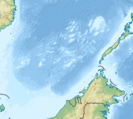
Dallas Reef (7°38′N 113°48′E / 7.633°N 113.800°E), also known as Malay: Terumbu Laya; Vietnamese: đá Suối Cát; Mandarin Chinese: 光星礁; pinyin: Guāngxīng Jiāo; Rajah Matanda Reef (Filipino: Bahura ng Rajah Matanda), lies on the SW extremity of Dangerous Ground (South China Sea) in the Spratly Islands of the South China Sea.[1]
It is approximately 7 km long and 2 km wide, and encloses a lagoon ~15m deep. It is 9 km west of Ardasier Reef, and 26 km north of Swallow Reef.
As with all of the Spratly Islands, the ownership of the atoll is disputed. It is controlled by Malaysia, and claimed by the People's Republic of China, the Republic of China (Taiwan) and Vietnam.[2] The Filipino(Tagalog) name is named after precolonial Philippine ruler of Rajahnate of Maynila, Rajah Matanda.
References
[edit]- ^ http://www.oceangrafix.com/chart/zoom?chart=93047 SW Dangerous Ground
- ^ Dallas Reef is not claimed by the Philippines – it lies outside of the Kalayaan Island Group claimed area.

