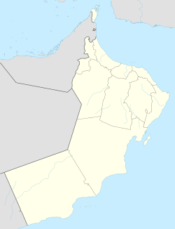
Qurayyat, Oman
Appearance
Qurayyat
قريات | |
|---|---|
Village | |
 | |
| Coordinates: 23°19′12″N 58°54′29″E / 23.320°N 58.908°E | |
| Country | |
| Governerate | Muscat |
| Population | |
• Total | 54,337 |
| Time zone | UTC+4 (+4) |


Qurayyat is a small fishing town 83km southeast of Muscat, Oman, adjacent to the towns of Sur, Diman Wa Tayeen and Aamerat.[1]
A popular stopping point on the way to Sur, Qurayyat is in itself also a very popular destination for Muscat.
On 28 June 2018, Qurayyat set the record for the highest daily "low" temperature ever recorded: 42.6 degrees Celsius.[2]
Portuguese
The Portuguese arrived in the 16h century. The village was a strategic point to control the Oman Gulf and access to the Persian Gulf. It was part of a chain of fortresses the Portuguese Empire had in this region. The Fortress and village were drawn in the beginning of the 17th century for a book by Antóno Bocarro.
See also
References
- ^ "Qurayyat". Governorate of Muscat. Retrieved 4 August 2015.
- ^ "Quriyat in Oman breaks world temperature record". CNN. Retrieved 29 June 2018.
Wikimedia Commons has media related to Qurayyat, Oman.


