Parasnath
Appearance
| Parasnath | |
|---|---|
| पारसनाथ | |
 View of the mountain peak from the road towards Parasnath railway station. | |
| Highest point | |
| Elevation | 1,382 m (4,534 ft) |
| Listing | List of Indian states and territories by highest point |
| Coordinates | 23°57′48″N 86°07′44″E / 23.9634°N 86.129°E[1] |
| Geography | |
| Location | Giridih district, Jharkhand, India |
| Parent range | Parasnath Range |
| Climbing | |
| Easiest route | Hike |
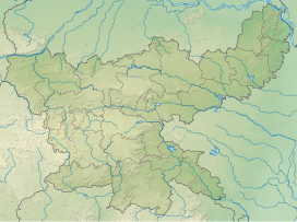
Parasnath is a mountain peak in the Parasnath Range. It is located towards the eastern end of the Chota Nagpur Plateau in the Giridih district of the Indian state of Jharkhand, India.[2]
On the mountaintop there is the Shikharji Jain temple, an important tirtha or Jain pilgrimage site.[3]
Highest point in Jharkhand
At 1382 m Parasnath is the highest mountain peak in the state of Jharkhand. It is easily accessible from Parasnath railway station and there are waterfalls and other tourist attractions in the area.[4]
See also
References
- ^ Parasnath Hill
- ^ "Official website of the Giridih district". Retrieved 7 March 2012.
- ^ "Shikharji." Jain V. Herenow4u.net Accessed 26 May 2012
- ^ Giridih - Jharkhand Tourism


