
Jifna
Template:Infobox Palestinian Authority muni Jifna (Arabic: جفنا) is a Palestinian village in the Ramallah and al-Bireh Governorate in the central West Bank, located eight kilometers (5 mi.) north of Ramallah and 23 km (13 mi.) north of Jerusalem. A village of about 1,400 people,[1] Jifna has retained a Christian majority since the 6th century CE. Its total land area consists of 6,015 dunams, of which 420 are designated as built-up areas, most of the remainder being covered with olive, fig and apricot groves.[2] Jifna is governed by a village council, led (2008) by mayor Jabi Na'im Kamil.
Jifna was known as Gophna at the time of the First Jewish-Roman War, and after its conquest became a Roman regional capital. Later the town grew less significant politically, but nevertheless prospered under Byzantine and Arab rule due to its location on a trade route. St. George's Church in Jifna was built during the Byzantine era in the 6th century CE, but fell into disrepair and was not rebuilt until the arrival of the Crusaders. However, it was destroyed after the Crusaders left. In modern times, the ruins of St. George's Church have become a tourist attraction.[3] During the period of Ottoman control in Palestine the tower of an ancient Roman structure in Jifna became the location of a jail house.[4]
Jifna has local traditions and legends relating to the Holy Family, and to the village spring. It is also locally known for its apricot harvest festival; each year, during the late Spring period, hundreds travel to the village to harvest the fruit during its brief season.[5]
History
Biblical era and Roman/Byzantine rule
Jifna may possibly be identified with Ophni, a town of the biblical Joshua era (around 1450 BCE), which is mentioned in the Book of Joshua as one of the "twelve cities".[6] Nothing thereafter is recorded in its history until the time of the Roman conquest during the 1st century BCE, when it appears in various records as "Gophna". Gophna was described by Flavius Josephus as the second city of Judea, after Jerusalem, in his account of the First Jewish-Roman Wars during the 1st century CE.[7] The town is depicted as Gophna in the Map of Madaba, situated north of Gibeon (al-Jib),[8] and is also mentioned in the Talmud as Ben Gufnin, a "city of priests".[3][9] The latter portion of its Talmudic name derives from the Hebrew root word gefen, meaning "vine".[3]
Jifna, known by the Romans as Cofna,[4] was a regional capital in the Iudaea Province during its rule by the Roman Empire.[3][5] Around 50 BCE, the Romans, under general Cassius, sold the population into slavery for failure to pay taxes. They were freed, however, by Mark Antony shortly after he came to power.[3][10] Jifna was located in the area under Hananiah's command in 66 CE during the First Jewish-Roman War and was the headquarters of one of the twelve toparchies (minor realms) of Judea. The Roman emperor Vespasian occupied the town in 68 CE, established an army garrison there, and concentrated Jewish priests and other local notables who had surrendered to him, in the city.[3]
The building of a church during the 6th century CE indicates that by this time Jifna, now under Byzantine rule, had become a Christian town. The church was dedicated to Saint George (al-Khader). From its remains it appears that the church had three naves of well-cut stone, capitals and cornices.
A number of other remains from this era are located in Jifna, including a Jewish tomb, a tower (Burj Jifna) once used by the Ottomans as a prison, a Roman villa, an olive oil press and a winery.[3][11]
Islamic, Crusader and Ottoman rule
Jifna, along with most of Palestine, was annexed by the Rashidun Caliphate under Umar ibn al-Khattab after the Battle of Yarmouk in 636.[12] The town grew less politically significant under the Arab dynasties of the Umayyads, Abbasids and Fatimids, but remained a major regional center for trade and commerce, due to its location along the Jerusalem–Nazareth road.[11] It was known by the Arabs as Gafeniyyah.[3]
Sources are vague, but it is likely that St. George's Church fell into disrepair during the early decades of Islamic rule, and that unfavorable circumstances for the Christian population prevented them from rebuilding it. However, it may have been partially rebuilt with old materials by the Crusaders, who conquered the area in 1099.[3] After the Crusaders' defeat by the Ayyubids in 1187[13][3] the church fell into ruin again, but continued as a place of worship into the modern era. It has been the site of archaeological excavation since the mid-19th century.[3]
According to the biblical scholar Edward Robinson (1794–63), the remains of massive walls in the center of the village, now filled by houses, were relics of a castle built by the Crusaders. However, the masonry has no characteristics of the Crusader period; rather, the remains display the Arab architectural style of the post-Crusader period, most likely of the 18th century, judging by the dressing of the stones.[3]
After the Crusaders were succeeded by the Ayyubids and the Mamluks, the Ottoman Turks conquered Palestine in 1517, and thus[14] Jifna came under their control for the following 400 years. Ottoman activity in the village was minimal, but they used the remains of Jifna's castle (Burj Jifna) as a jail house sometime during the 19th century.[4] In 1834, there was a revolt against local Ottoman authorities, and 26 residents of Jifna were subsequently exiled to Egypt, where they were joined, voluntarily, by two prominent local priests.[3]
A Greek Orthodox church was built in the village in 1858, and a larger Latin (Roman Catholic) church dedicated to Saint Joseph was built in 1859, adjacent to St. George's Church.[11]
Modern times
In 1917, during World War I, the Ottomans were defeated by British and Arab forces. After a brief period of military rule, Jifna and its region came under the control of the League of Nations British Mandate, in 1922. In 1947 the United Nations proposed the partitioning of Palestine into separate Jewish and Arab states, with Jifna being a part of the projected Arab state. However, after the 1948 Arab-Israeli War the whole West Bank region, including Jifna, was annexed by Transjordan to form the Kingdom of Jordan, and the Arab state was stillborn. In 1967 Israel occupied the West Bank, after their victory in the Six-Day War.[13]
After the 1995 Interim Agreement on the West Bank and the Gaza Strip between the Palestinian National Authority (PNA) and Israel, Jifna was placed in "Area B". Thus, its administrative and civil affairs were transferred to the PNA, while security matters remained in Israeli control.[15] Throughout the ongoing Second Intifada, which began in 2000, Jifna has not experienced violence to the same extent as other parts of the West Bank, such as in nearby Ramallah, but its residents face travel restrictions and economic hardship.[16]
Geography and climate

Jifna is located on the slope of a hill, standing at an elevation of about Template:M to ft above sea level in southern Samaria.[17] It is situated at the intersection of two ancient trade routes, the mountainous north-south route and the east-west route connecting the Jordan Valley with the Mediterranean seacoast.[11]
The village is located Template:Km to mi northwest of Ramallah and about Template:Km to mi north of Jerusalem. The Jalazone refugee camp was built on Jifna's southern lands and is connected to the village by road. Other nearby localities include al-Bireh to the south, Ein Yabrud to the southeast and Bir Zeit to the northwest.[2] Jifna is connected to the main Ramallah-Nablus road by a dirt road on the eastern side of the village.[18]
Jifna experiences a temperate Mediterranean climate. Based on data for nearby Ramallah, average monthly high temperatures range from Template:F to C in January to Template:F to C in July/August, the corresponding lows being Template:F to C and Template:F to C.[19] Rain is usually restricted to the winter season,[20] from around November until the end of April. The months that receive the most precipitation are January and December and the annual rainfall is Template:In to mm.[21]
Demographics
There are no available figures for the population of Jifna (Gophna) when it was a regional capital in Roman times, but it might have been larger then. Also, it is likely that there would have been large variations in the village's population through the different eras up to modern times. According to Edward Robinson, Jifna's population in 1838, consisted of about 200 people, of whom only 42 were adult males.[3][22] An informal survey in 1927 found 550 inhabitants, of whom 325 were Catholics and the remainder reportedly "Christians of other denominations".[23] A formal census under the British Mandate in 1931 showed Jifna's population as 676.[17]
The most recent census, carried out in 1997 by the Palestinian Central Bureau of Statistics (PCBS) shows that Jifna had a population of 961, of whom 623 (64.8%) were classed as "refugees". The gender distribution was 465 males (48.4%) and 494 females (51.6%). The age distribution was: Under 15, 330 (34%); 15–29, 275 (29%); 30–65, 304 (32%); Over 65, 50 (5%).[24]
The population of Jifna appears to be growing. According to the PCBS, Jifna's mid-year population estimate for 2006 was 1,358.[1] An informal estimate of Autumn 2006 gives the population as 1,500, "25% of whom have had to move to Jerusalem or Ramallah to find jobs". Palestinian Christians make up about 80% of the residents,[16] while the remaining 20% are are Muslims,[23] mostly descendants of refugees.
Economy
Although most of Jifna's cultivable land is covered with olive, fig, walnut and apricot groves,[2] agriculture is no longer the village's main income source. Many of the village's former farmers are living off other businesses, including restaurants, other small family-owned industries and simple commerce.[23] There are three restaurants in Jifna: Al-Burj Restaurant, Red Valley Restaurant & Garden and Tabash Restaurant, as well as a hotel: al-Murouj Pension.[25]
Unlike some other West Bank localities, unemployment is a minor issue in Jifna. However, the average income is low, partly due to difficult circumstances such as Israeli checkpoints in nearby towns, the West Bank barrier and the 2006 freezing by Israel of funds to the Palestinian territories—although, the latter no longer applies to the West Bank.[23]
According to the PCBS, 98.5% of Jifna's 201 households are connected to electricity through a public network. The same percentage is connected to a sewage system, mostly through a cesspit. Pipe water is provided for 98% of the households primarily through a public network (97.5%), but some residents receive water through a private system (1.5%).[26]
Culture
In April–May 2005 Jifna hosted the first annual International Artists' Workshop in Palestine. The festival, known as the "Jifna Spring" was "unique" since it was held in a rural village instead of a major city such as Hebron or Ramallah. During the festival, dozens of artists from all over the world collaborated on several projects, including stone sculptures, metalwork, photography, mural paintings and installation pieces. Many of the works were influenced by the "specificity and qualities" of Jifna, while others dealt with the subject of Palestinian identity.[27]
Jifna, locally famous for its apricot harvest, hosts an annual two-day apricot festival in the first week of May. Hundreds of West Bankers flock to participate in the harvest.[5] The festival is also used by Palestinian politicians as an opportunity to give speeches praising Palestinian farmers and encouraging boycotts on Israeli products and reliance on domestic agriculture.[28]
The village attracts many visitors and its tower, Burj Jifna, contains a restaurant specializing in Palestinian cuisine, a café and a Palestinian culture hall.[11]
Traditions
There are several local traditions in Jifna. A prominent legend among Jifna's inhabitants is that the Holy Family rested near an oak tree in the town on their way from Jerusalem. The legend's origins are due to Jifna's location along the ancient Jerusalem-Nazareth road.[3]
A nearby mountain was named Jabal ad-Dik ("Mount of the Rooster") because of a traditional story. According to the tradition, a Jew that lived in Jifna had visited Jerusalem during the Passion. Seeing Jesus rise from the dead, the man immediately converted and told his wife what he saw. His wife refused to believe him unless the rooster she had just killed would come back to life. Instantly, the rooster flew away towards the mountain. The story was recited in some monasteries on Holy Thursday together with other biblical readings.[3]
A legend about Jifna's spring, which the village survived on for centuries, involves it running low on water. Popular belief is that this is the work of the djinniye (female spirit). According to Palestinian researcher Tawfiq Canaan, 'In Jifna the priest has to go on such an occasions to the dry spring to repeat prayers and burn incense, and thus reconcile the djinniye or force her to let the water flow'.[3]
Education
Jifna contains one gender-mixed primary school and kindergarten, founded by the Latin Patriarchate of Jerusalem in 1856 and managed by Jifna's Catholic church.[29][23] The school's staff comprises eight teachers and two nuns, as well as four teachers for the kindergarten.[30][29] Students who have graduated from the school commute to Ramallah or Bir Zeit daily for their secondary and tertiary education. Most university students attend the nearby Bir Zeit University.[23]
See also
References
- ^ a b Cite error: The named reference
PCBS1was invoked but never defined (see the help page). - ^ a b c Jifna Excerpt Palestinian Association of Cultural Heritage
- ^ a b c d e f g h i j k l m n o p q Discussion Mount Ephraim and Benjamin: 51. Gophna - (Jifna) Studium Biblicum Franciscanum - Jerusalem
- ^ a b c Jifna: History Jifna Village Council
- ^ a b c The rich flavors of Palestine Mai M. Farsakh. This Week in Palestine via Institute for Middle East Understanding 2006-06-21.
- ^ In Bible Versions
- ^ Flavius Josephus, Wars of the Jews, Book III Ch. III:v
- ^ The Mosaic Map of Madaba, Donner, Herbert Kampen 1992, #52.
- ^ Ber. 44a; TJ, Ta'an. 4:8, 69a
- ^ Cassius Longinus Gotthiel, Richard. JewishEncyclopedia.com
- ^ a b c d e Villages: The Village and tower of Jifna - Ramallah Jerusalem Media and Communications Centre.
- ^ The Battle Of Yarmuk, 636 Fratini, Dan. MilitaryHistoryOnline. 2006-04-01.
- ^ a b The British Mandate for Palestine Isseroff, Ami. MidEastWeb for Coexistence RA.
- ^ *Chase, Kenneth (2003). Firearms: A Global History to 1700. Cambridge University Press. pp.104-105. ISBN 0521822742
- ^ Palestine Facts Timeline: 1994-1995 Palestinian Academic Society for the Study of International Affairs
- ^ a b In pictures: Christmas in the West Bank: Restrictions Sharp, Heather. BBC News BBC MMVII.
- ^ a b Welcome To Jifna: Town Statistics and Facts Palestine Remembered
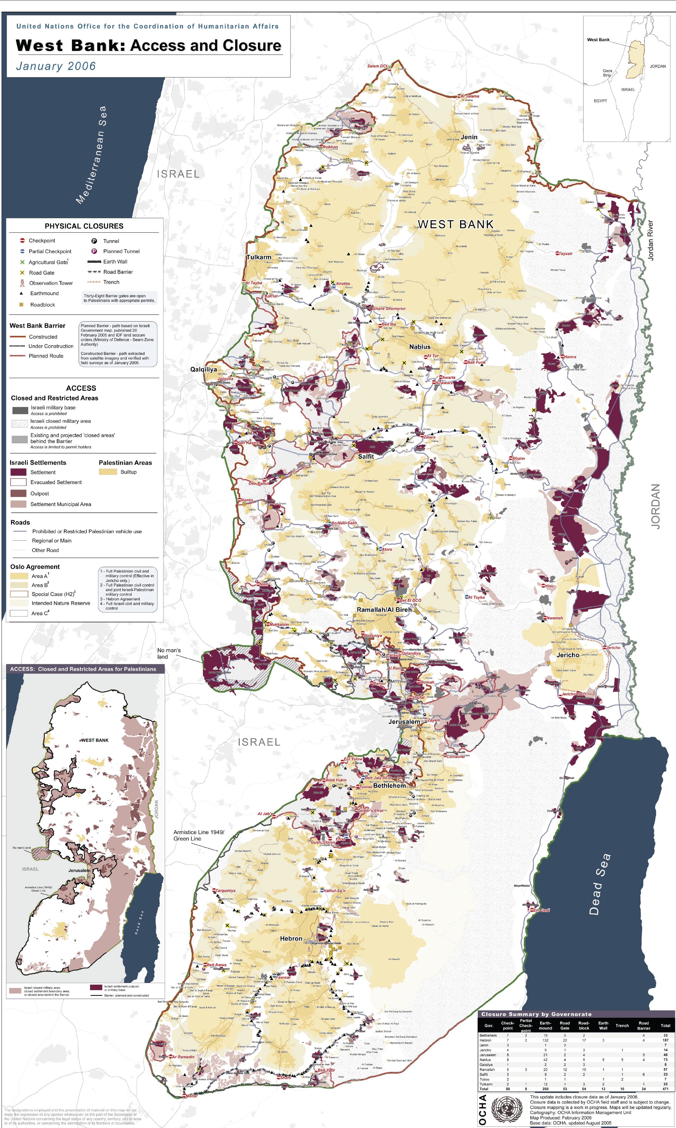
- ^ West Bank: Access and Closures United Nations Office of the Coordination of Humanitarian Affairs. January 2006.
- ^ Monthly Averages in Ramallah, the West Bank
- ^ About Ramallah Ramallah Online Archive.
- ^ Monthly Averages in Ramallah, the West Bank
- ^ Biblical Archeology III. Robinson, Edward pp. 78-80
- ^ a b c d e f Jifna Salameh, Samir. Sabeel Cite error: The named reference "Sabeel" was defined multiple times with different content (see the help page).
- ^ Palestinian Population by Locality, Sex and Age Groups in Years
Palestinian Population by Locality and Refugee Status
Palestinian Population by Locality, Sex and Age Groups in Years
Palestinian Population by Locality, Sex and Age Groups in Years Palestinian Central Bureau of Statistics - ^ Palestinian Directory: Restaurants Hotels Jerusalem Media and Communications Centre.
- ^ Occupied Housing Units by Locality and Connection to Sewage System in Housing Unit
Occupied Housing Units by Locality and Connection to Water Network in Housing Unit
Occupied Housing Units by Locality and Connection to Electricity Network in Housing Unit Palestinian Central Bureau of Statistics. Statistics from a 1997 Census. - ^ Jifna Spring 2005 Sherwell, Tina. ArtSchool Palestine.
Jifna Spring 2005 This Week in Palestine. June 2005. - ^ Apricot Festival launched in Jifna on Thursday Ma'an News Agency
- ^ a b Jifna Today: Schools Jifna Village Council
- ^ Latin Patriarchate School of Jifna Patriarchate of Jerusalem
