
Sumter County, Alabama
Sumter County | |
|---|---|
 Sumter County Courthouse in Livingston, Alabama | |
 Location within the U.S. state of Alabama | |
 Alabama's location within the U.S. | |
| Coordinates: 32°35′30″N 88°12′15″W / 32.591666666667°N 88.204166666667°W | |
| Country | |
| State | |
| Founded | December 18, 1832[1] |
| Seat | Livingston |
| Largest city | Livingston |
| Area | |
| • Total | 913 sq mi (2,360 km2) |
| • Land | 905 sq mi (2,340 km2) |
| • Water | 8 sq mi (20 km2) (0.92%)% |
| Population (2000) | |
| • Total | 14,798 |
| • Density | 20/sq mi (6/km2) |
Sumter County is a county of the U.S. state of Alabama.[1] Its name is in honor of General Thomas Sumter of South Carolina.[1] As of 2000, the population was 14,798.[1] Its county seat is Livingston.
History
Sumter County was established on December 18, 1832. From 1797 to 1832, Sumter County was part of the Choctaw Nation, which was made up of four main villages.[1] The first settlers in Sumter County were French explorers who had come north from Mobile. They built and settled at Fort Tombecbee, near the modern-day town of Epes. In 1830, with the Treaty of Dancing Rabbit Creek, the Choctaw Indians ceded the land that is now Sumter County to the government.
Geography
According to the U.S. Census Bureau, the county has a total area of 2,365 km² (913 square miles). Nearly 905 square miles (2,344 km²) of it is land, and 8 square miles (22 km²) of it (0.92%) is water.
Major highways

 Interstate 20/Interstate 59
 U.S. Highway 11
 U.S. Highway 80
 State Route 17
 State Route 28
 State Route 39
Adjacent counties
- Pickens County (north)
- Greene County (northeast)
- Marengo County (southeast)
- Choctaw County (south)
- Lauderdale County, Mississippi (southwest)
- Kemper County, Mississippi (west)
- Noxubee County, Mississippi (northwest)
Demographics
As of the censusTemplate:GR of 2000, there were 14,798 people, 5,708 households, and 3,664 families residing in the county. The population density was 16 people per square mile (6/km²). There were 6,953 housing units at an average density of 8 per square mile (3/km²). The racial makeup of the county was 25.92% White, 73.17% Black or African American, 0.09% Native American, 0.10% Asian, 0.01% Pacific Islander, 0.18% from other races, and 0.52% from two or more races. Nearly 1.12% of the population were Hispanic or Latino of any race.
There were 5,708 households out of which 31.90% had children under the age of 18 living with them, 36.70% were married couples living together, 23.50% had a female householder with no husband present, and 35.80% were non-families. Nearly 31.20% of all households were made up of individuals, and 12.30% had someone living alone who was 65 years of age or older. The average household size was 2.55, and the average family size was 3.26.
In the county, the population was spread out with 29.10% under the age of 18, 12.20% from 18 to 24, 25.30% from 25 to 44, 19.50% from 45 to 64, and 13.90% who were 65 years of age or older. The median age was 32 years. For every 100 females, there were 84.90 males. For every 100 females age 18 and over, there were 78.20 males.
The median income for a household in the county was $18,911, and the median income for a family was $23,176. Males had a median income of $28,059 versus $17,574 for females. The per capita income for the county was $11,491. About 32.90% of families and 38.70% of the population were below the poverty line, including 47.40% of those under age 18 and 36.10% of those age 65 or over.
Economy
Sumter County is part of the so-called Black Belt region of central Alabama. The region has suffered significant economic depression in recent years. But in April 2008, United States Steel announced plans to build at $150 million alloy plant near the community of Epes about 50 miles southwest of Tuscaloosa, Alabama. The plant will require 250 workers to construct in a town of only 206. Up to 235 full time jobs will be created when completed with jobs paying about $50 thousand annually. The state of Alabama offered $28 million in incentives to get the plant located in Sumter County.[2] The plant will make use of a new technology that produces a carbon alloy for use in steel making at the U.S. Steel plant in Fairfield, Alabama near Birmingham.[3] At the time of the announcement, the unemployment rate in Sumter County was 6.1 percent.[3]
Cities and towns
Places of interest
Sumter County is home to the University of West Alabama Outdoor Sculpture Exhibition and the Coleman Center for the Arts.
See also
- National Register of Historic Places listings in Sumter County, Alabama
- Properties on the Alabama Register of Landmarks and Heritage in Sumter County, Alabama
References
- ^ a b c d e "ACES Winston County Office" (links/history), Alabama Cooperative Extension System (ACES), 2007, webpage: ACES-Sumter.
- ^ Johnson, Bob (2008-04-19). "U.S. Steel announces plant for Alabama's Black Belt region". Press-Register (Mobile). pp. 6B.
{{cite news}}:|access-date=requires|url=(help)CS1 maint: date and year (link) - ^ a b Kent, Dawn. "U.S. Steel to invest in Alabama Black Belt with first-of-its-kind coke alternative plant". The Birmingham News (html). The Birmingham News. Retrieved 2008-04-19.
External links
- [1].
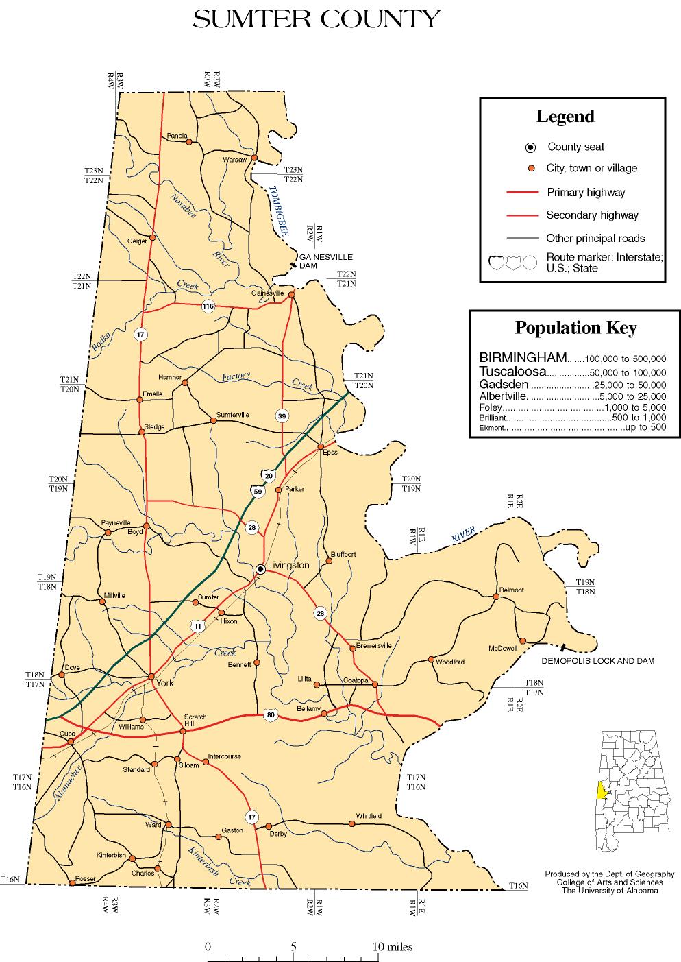
- Sumter County map of roads/towns (map © 2007 Univ. of Alabama).
Places adjacent to Sumter County, Alabama | |
|---|---|
Municipalities and communities of Sumter County, Alabama, United States | ||
|---|---|---|
| Cities |  | |
| Towns | ||
| CDPs | ||
| Unincorporated communities | ||