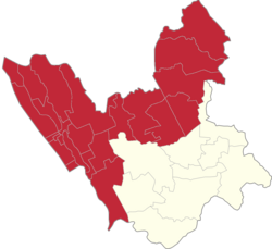
Isla, Valenzuela
Appearance
Isla | |
|---|---|
| Coordinates: 14°42′14″N 120°57′09″E / 14.70389°N 120.95250°E | |
| Country | |
| Region | National Capital Region |
| City | Valenzuela |
| Congressional districts | Part of the 1st district of Valenzuela |
| Government | |
| • Barangay Chairman | Joel S. Angeles |
| Area | |
| • Total | 39.60 km2 (15.29 sq mi) |
| Population (2007) | |
| • Total | 3,443 |
| • Density | 87/km2 (230/sq mi) |
| ZIP code | 1444 |
| Area code | 2 |
Isla is one of the constituent barangays in the city of Valenzuela, Metro Manila, Philippines.

In Filipino, the word "Isla" means "Island". The namesake of Isla came from its natural geography where it is surrounded by rivers and fishery ponds. Nasing Santiago, the youngest mayor of Valenzuela and former governor of Malolos, Bulacan used to take residence in Isla.[1]
Festivals
Residents celebrate the fiesta of Sta. Cruz, their patron saint, every last Saturday of April.
Landmarks
Landmarks in Isla include the Sta. Cruz Chapel, Isla Elementary School, the Island Pavilion Resort and Restaurante Pontemar.
References
- ^ Valezuela; Isla, Valenzuela Retrieved on September 22, 2012
External links
Wikimedia Commons has media related to Isla, Valenzuela.


