
Buck Township, Pennsylvania
Buck Township, Pennsylvania | |
|---|---|
 Municipal Building | |
 Map of Luzerne County, Pennsylvania Highlighting Buck Township | |
 Map of Luzerne County, Pennsylvania | |
| Country | United States |
| State | Pennsylvania |
| County | Luzerne |
| Area | |
| • Total | 17.0 sq mi (44 km2) |
| • Land | 16.9 sq mi (44 km2) |
| • Water | 0.1 sq mi (0.3 km2) |
| Population (2010) | |
| • Total | 435 |
| • Density | 25.7/sq mi (9.9/km2) |
| Time zone | UTC-5 (Eastern (EST)) |
| • Summer (DST) | UTC-4 (EDT) |
Buck Township is a township in Luzerne County, Pennsylvania, United States. The population was 435 at the 2010 census.
History
The Stoddartsville Historic District was added to the National Register of Historic Places in 1998.[1]
Geography
According to the United States Census Bureau, the township has a total area of 17.0 square miles (44 km2), of which, 16.9 square miles (44 km2) of it is land and 0.1 square miles (0.26 km2) of it (0.29%) is water.
Demographics
As of the census[2] of 2010, there were 435 people, 178 households, and 120 families residing in the township. The population density was 25.7 people per square mile (10/km2). There were 259 housing units at an average density of 15.3/sq mi (6/km2). The racial makeup of the township was 97% White, 1.6% Black, 0.2% American Indian, 0.7% Asian, 0.5% two or more races.
There were 178 households, out of which 20.2% had children under the age of 18 living with them, 53.9% were married couples living together, 7.9% had a female householder with no husband present, and 32.6% were non-families. 25.8% of all households were made up of individuals, and 7.8% had someone living alone who was 65 years of age or older. The average household size was 2.44 and the average family size was 2.95.
In the township the population was spread out, with 17% under the age of 18, 68.1% from 18 to 64, and 14.9% who were 65 years of age or older. The median age was 45.7 years.
The median income for a household in the township was $35,556, and the median income for a family was $37,813. Males had a median income of $32,361 versus $21,875 for females. The per capita income for the township was $15,123. About 3.4% of families and 7.1% of the population were below the poverty line, including 8.0% of those under age 18 and 14.6% of those age 65 or over.
-
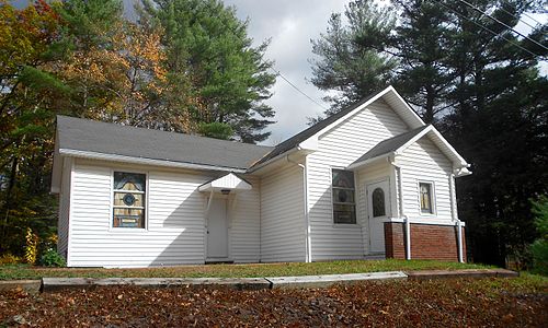 Beaumont Free Methodist Church
 -
 Stoddartsville Preservation Society


References
- ^ "National Register Information System". National Register of Historic Places. National Park Service. July 9, 2010.
- ^ "American FactFinder". United States Census Bureau. Archived from the original on 2013-09-11. Retrieved 2011-05-14.
{{cite web}}: Unknown parameter|deadurl=ignored (|url-status=suggested) (help)
