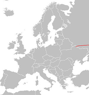
European route E38
Appearance
| E38 | |
|---|---|
 | |
| Route information | |
| Length | 3,400 km (2,100 mi) |
| Major junctions | |
| West end | Hlukhiv (Ukraine) |
| East end | Shymkent (Kazakhstan) |
| Location | |
| Countries | Ukraine, Russia, Kazakhstan |
| Highway system | |
European route E 38 is a road part of the International E-road network. It begins in Hlukhiv, Ukraine and ends in Shymkent, Kazakhstan.[1] It is 3,400 km (2,100 mi) long.
Route
- Ukraine
- Russia
- P199 Rylsk - Kursk(Template:European route E)
- A144 Kursk - Voronezh(Template:European route E) - Borisoglebsk(Template:European route E) - Saratov
- P236 Saratov - Yershov
- Kazakhstan
- P236 Oral(Template:European route E)
- M32 Oral - Kyzylorda(Template:European route E)(Template:European route E) - Shymkent(Template:European route E)
References
Wikimedia Commons has media related to E38.


