Raymond, Ohio
Appearance

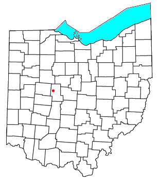
Raymond is an census-designated place in eastern Liberty Township, Union County, Ohio, United States. Although it is unincorporated, it has a post office, with the ZIP code of 43067.[1] It is located at the intersection of State Routes 347 and 739.[2]
History
A former variant name of Raymond was Newton.[3] Newton was laid out and platted in 1838.[4] A post office called Raymond has been in operation since 1839.[5]
References
- ^ Zip Code Lookup
- ^ DeLorme. Ohio Atlas & Gazetteer. 7th ed. Yarmouth: DeLorme, 2004, p. 57. ISBN 0-89933-281-1.
- ^ U.S. Geological Survey Geographic Names Information System: Raymond, Ohio
- ^ Durant, Pliny A. (1883). The History of Union County, Ohio, containing a history of the county; its townships, towns ... Chicago: Beers, W. H., & co. p. 401.
- ^ "Union County". Jim Forte Postal History. Retrieved 26 December 2015.

