
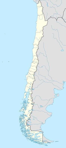
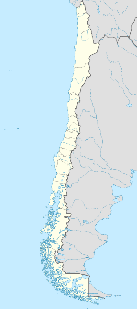
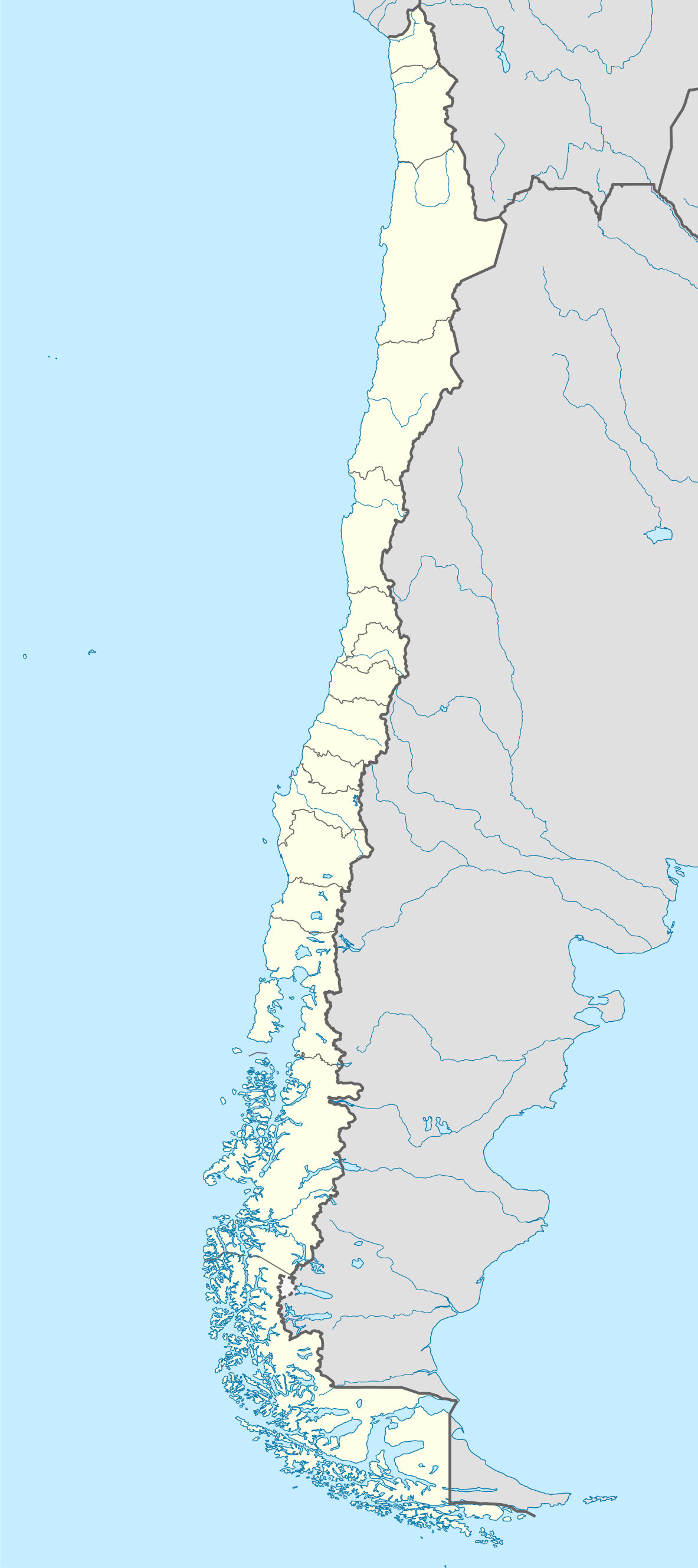
File:Chile location map.svg

Size of this PNG preview of this SVG file: 267 × 600 pixels. Other resolutions: 107 × 240 pixels | 213 × 480 pixels | 342 × 768 pixels | 455 × 1,024 pixels | 911 × 2,048 pixels | 1,183 × 2,658 pixels.
Original file (SVG file, nominally 1,183 × 2,658 pixels, file size: 925 KB)
| This is a file from the Wikimedia Commons. Information from its description page there is shown below. Commons is a freely licensed media file repository. You can help. |
Summary
| Description |
Deutsch: Positionskarte von Chile
Quadratische Plattkarte, N-S-Streckung 115 %. Geographische Begrenzung der Karte:
English: Location map of Chile
Equirectangular projection, N/S stretching 115 %. Geographic limits of the map:
Español: Mapa de localización de Chile
Proyección Equirectangular, N/S con una extensión de 115 %. Límites geográficos del mapa:
|
| Date | |
| Source |
own work, using
|
| Author | NordNordWest |
| Other versions |
Derivative works of this file:
|
.svg)
.svg)
.svg)
.svg)

|
This map has been made or improved in the German Kartenwerkstatt (Map Lab). You can propose maps to improve as well.
|
Licensing
I, the copyright holder of this work, hereby publish it under the following licenses:

|
Permission is granted to copy, distribute and/or modify this document under the terms of the GNU Free Documentation License, Version 1.2 or any later version published by the Free Software Foundation; with no Invariant Sections, no Front-Cover Texts, and no Back-Cover Texts. A copy of the license is included in the section entitled GNU Free Documentation License. |
This file is licensed under the Creative Commons Attribution-Share Alike 3.0 Unported license.
- You are free:
- to share – to copy, distribute and transmit the work
- to remix – to adapt the work
- Under the following conditions:
- attribution – You must give appropriate credit, provide a link to the license, and indicate if changes were made. You may do so in any reasonable manner, but not in any way that suggests the licensor endorses you or your use.
- share alike – If you remix, transform, or build upon the material, you must distribute your contributions under the same or compatible license as the original.
You may select the license of your choice.
File history
Click on a date/time to view the file as it appeared at that time.
| Date/Time | Thumbnail | Dimensions | User | Comment | |
|---|---|---|---|---|---|
| 20:14, 2 March 2016 |  | 1,183 × 2,658 (783 KB) | NordNordWest | c | |
| 11:03, 26 February 2016 |  | 1,183 × 2,658 (1.24 MB) | TUBS | Reverted to version as of 16:50, 21 June 2015 (UTC) a) it looks stupid (never seen such a border on any map) b) wtf does that mean? c) covers water bodies d.) against loc map conventions (use dots or so) | |
| 23:05, 10 September 2015 |  | 1,183 × 2,658 (1.24 MB) | Janitoalevic | Fixed Square | |
| 23:00, 10 September 2015 |  | 1,183 × 2,658 (1.24 MB) | Janitoalevic | Added Southern Patagonian Ice Field (Campo de hielo Patagónico Sur) undefined limits part, since 1998 For more information read: https://en.wikipedia.org/wiki/Southern_Patagonian_Ice_Field#Borderline Now with full resolution. | |
| 16:50, 21 June 2015 |  | 1,183 × 2,658 (1.24 MB) | Yann | Reverted to version as of 10:03, 19 November 2010 | |
| 18:27, 24 May 2015 |  | 512 × 1,151 (1.22 MB) | Janitoalevic | Added Southern Patagonian Ice Field (Campo de hielo Patagónico Sur) indefinite limit, since 1998 For more information read: https://en.wikipedia.org/wiki/Southern_Patagonian_Ice_Field#Borderline | |
| 10:03, 19 November 2010 |  | 1,183 × 2,658 (1.24 MB) | NordNordWest | Reverted to version as of 18:34, 29 August 2010: see file discussion | |
| 00:30, 18 November 2010 |  | 1,183 × 2,658 (1.25 MB) | Keysanger | antartic territories added | |
| 18:34, 29 August 2010 |  | 1,183 × 2,658 (1.24 MB) | Keysanger | Maritime Grenze auf der Magellanstraße und Beagle-Kanal gezeichnet | |
| 20:05, 20 May 2009 |  | 1,183 × 2,658 (1.22 MB) | NordNordWest | {{Information |Description= {{de|Positionskarte von Chile}} Quadratische Plattkarte, N-S-Streckung 115 %. Geographische Begrenzung der Karte: * N: 17.4° S * S: 56.5° S * W: 81.5° W * O: 61.5° W {{en|Location map of Chile}} |
File usage
More than 100 pages use this file. The following list shows the first 100 pages that use this file only. A full list is available.
- 1920 South American Championship
- 1941 South American Championship
- 1962 FIFA World Cup
- 1991 Copa América
- Ancud
- Angol
- Antofagasta
- Antofagasta Province
- Arauco Province
- Arica
- Arica Province
- Arturo Merino Benítez International Airport
- Battle of Angamos
- Battle of Chacabuco
- Calama, Chile
- Cañete, Chile
- Cerrillos, Chile
- Cerro Navia
- Chañaral Island
- Chilean Civil War of 1891
- Chillán
- Chuquicamata
- Colonia Dignidad
- Concepción, Chile
- Conchalí
- Copiapó
- Coquimbo
- Cordillera Province, Chile
- Coyhaique
- Curicó Province
- El Bosque, Chile
- El Tepual International Airport
- European Southern Observatory
- Frutillar
- Huechuraba
- Illapel
- Independencia, Chile
- Iquique
- Iquique Province
- Juan Fernández Islands
- La Cisterna
- La Florida, Chile
- La Granja, Chile
- La Negra (industrial complex)
- La Pintana
- La Reina
- La Serena, Chile
- Las Condes
- Linares, Chile
- Llanquihue Province
- Lo Barnechea
- Lo Espejo
- Lo Prado
- Los Ángeles, Chile
- Macul
- Maipú, Chile
- Mejillones
- Ovalle
- Palena Province
- Parinacota Province
- Parral, Chile
- Pedro Aguirre Cerda, Chile
- Peñalolén
- Porvenir, Chile
- Providencia, Chile
- Pudahuel
- Puerto Aysén
- Puerto Montt
- Puerto Toro
- Puerto Varas
- Puerto Williams
- Putre
- Quilicura
- Quillota
- Quinta Normal
- Rancagua
- Recoleta, Chile
- Renca
- Robinson Crusoe Island
- Río Negro, Chile
- Saavedra, Chile
- San Joaquín
- San Miguel, Chile
- San Pedro de Atacama
- San Ramón, Chile
- Santa Clara Island
- Santa Inés Island
- Santiago Province, Chile
- Santo Domingo, Chile
- Talca
- Talca Province
- Talcahuano
- Temuco
- Teno
- Tocopilla
- University of Tarapacá
- Valparaíso
- Vicuña, Chile
- Vitacura
- Viña del Mar
View more links to this file.
Global file usage
The following other wikis use this file:
- Usage on af.wikipedia.org
- Antofagasta
- Pichilemu
- FIFA Sokker-Wêreldbekertoernooi in 1962
- Chillán
- Los Ángeles (Chili)
- Talcahuano
- Quinta Normal
- Temuco
- Puerto Montt
- Punta Arenas
- Coyhaique
- Valdivia
- Castro (Chili)
- San Pedro de la Paz
- Villa Alemana
- Sjabloon:Liggingkaart Chili
- Penco
- Hualpén
- Chiguayante
- Hualqui
- Coronel (Chili)
- Lota
- Tomé
- La Serena
- Arica
- Monte Águila (Chili)
- Arturo Merino Benítez Internasionale Lughawe
- Usage on als.wikipedia.org
- Usage on an.wikipedia.org
View more global usage of this file.