Déline Airport
Appearance
Déline Airport | |||||||||||
|---|---|---|---|---|---|---|---|---|---|---|---|
 | |||||||||||
| Summary | |||||||||||
| Airport type | Public | ||||||||||
| Operator | Government of the Northwest Territories | ||||||||||
| Location | Deline, Northwest Territories | ||||||||||
| Time zone | MST (UTC−07:00) | ||||||||||
| • Summer (DST) | MDT (UTC−06:00) | ||||||||||
| Elevation AMSL | 703 ft / 214 m | ||||||||||
| Coordinates | 65°12′40″N 123°26′11″W / 65.21111°N 123.43639°W | ||||||||||
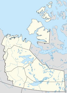
| Map | |||||||||||
 | |||||||||||
| Runways | |||||||||||
| |||||||||||
| Statistics (2010) | |||||||||||
| |||||||||||
Déline Airport (IATA: YWJ, ICAO: CYWJ) is located 1.4 nautical miles (2.6 km; 1.6 mi) northwest of Deline, Northwest Territories, Canada. Caribou may be found on the runway. It played a role in the first episode of Arctic Air.
Airlines and destinations
| Airlines | Destinations |
|---|---|
| North-Wright Airways | Norman Wells, Tulita, Yellowknife |
Cargo
| Airlines | Destinations |
|---|---|
| Buffalo Airways | Yellowknife |
See also
References
- ^ Canada Flight Supplement. Effective 0901Z 16 July 2020 to 0901Z 10 September 2020.
- ^ Synoptic/Metstat Station Information Archived December 1, 2011, at the Wayback Machine
- ^ Total aircraft movements by class of operation
External links
- Page about this airport on COPA's Places to Fly airport directory
- Past three hours METARs, SPECI and current TAFs for Deline Airport from Nav Canada as available.

