
Drillham, Queensland
| Drillham Queensland | |||||||||||||||
|---|---|---|---|---|---|---|---|---|---|---|---|---|---|---|---|
 Post office | |||||||||||||||
 Drillham | |||||||||||||||
| Coordinates | 26°39′0″S 149°59′0″E / 26.65000°S 149.98333°E | ||||||||||||||
| Population | 217 (2011 census)[1] | ||||||||||||||
| • Density | 0.5365/km2 (1.389/sq mi) | ||||||||||||||
| Postcode(s) | 4424 | ||||||||||||||
| Area | 404.5 km2 (156.2 sq mi) | ||||||||||||||
| Location | |||||||||||||||
| LGA(s) | Western Downs Region | ||||||||||||||
| State electorate(s) | Callide | ||||||||||||||
| Federal division(s) | Maranoa | ||||||||||||||
| |||||||||||||||
Drillham is a town and a locality in the Western Downs Region, Queensland, Australia.[2][3] At the 2011 census, Drillham and the surrounding area had a population of 217.[1]
Geography
The town is on the Darling Downs and on the Warrego Highway, 358 kilometres (222 mi) north west of the state capital, Brisbane.
History
The town was established in 1878 to service the railway and was home to a camp for workers building the bridge over nearby Drillham Creek.[4] Drillham Post Office opened by June 1910 (a receiving office had been open from 1895).[5] The town and the creek were originally known as 'Delerium' due to the typhoid fever that struck this camp.[6]
Drillham Provisional School opened on 28 Aug 1899, becoming Drillham State School on 1 January 1909.[7]
Economy
Drillham is a centre for the production of livestock and grains.[4]
Education
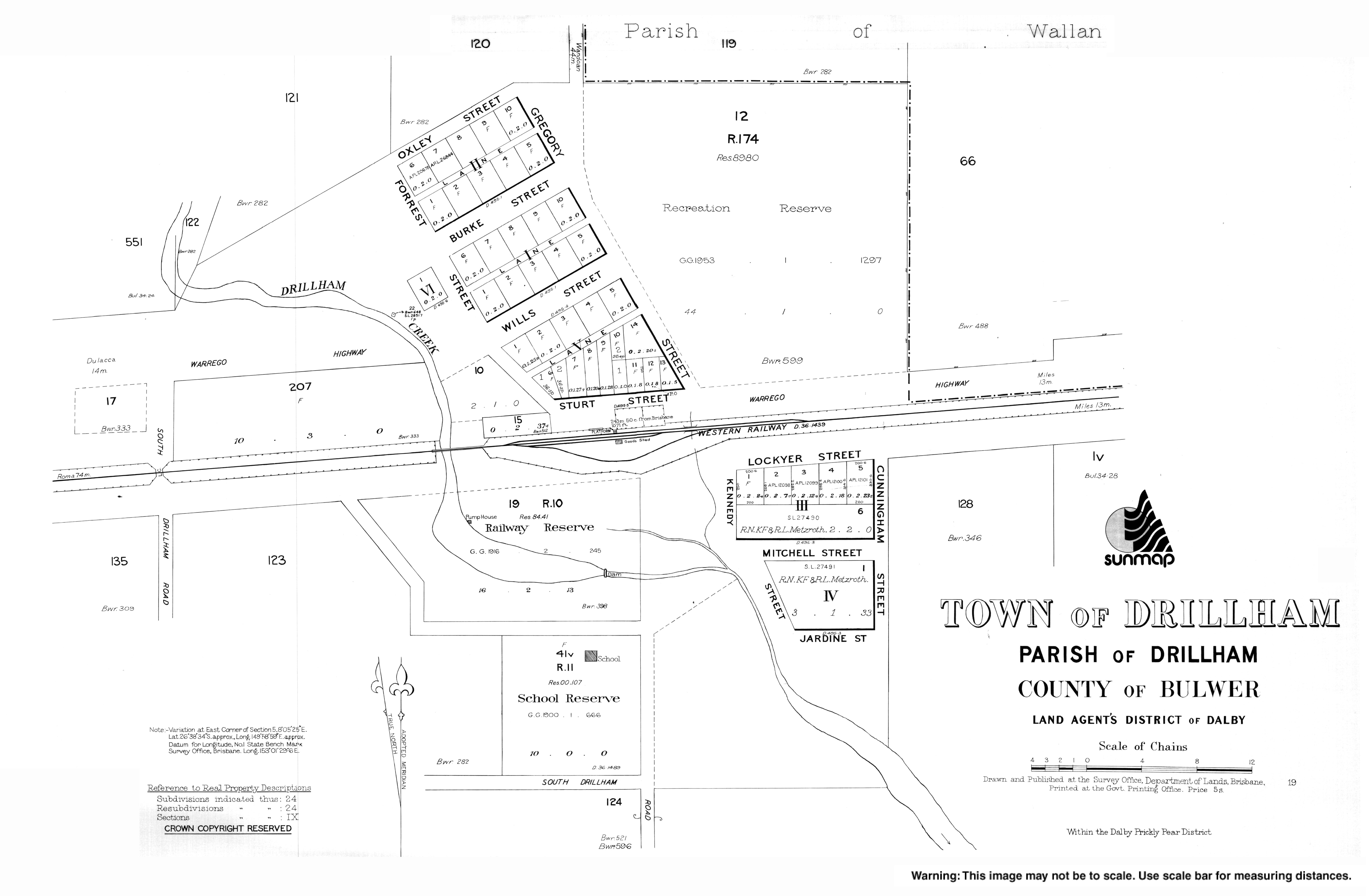
Drillham State School is a government co-educational primary school (P-6) at 13 Jardine Street. In 2016, the school had an enrolment of 29 students with 3 teachers (2 equivalent full-time) and 4 non-teaching staff (2 equivalent full-time).[8]
References
- ^ a b Australian Bureau of Statistics (25 October 2007). "Drillham (Murilla Shire) (State Suburb)". 2006 Census QuickStats. Retrieved 3 November 2008.
- ^ "Drillham – town in Western Downs Region (entry 10538)". Queensland Place Names. Queensland Government. Retrieved 12 September 2017.
- ^ "Drillham – locality in Western Downs Region (entry 47692)". Queensland Place Names. Queensland Government. Retrieved 12 September 2017.
- ^ a b "Drillham". Western Downs - Places to Visit. Tourism Queensland. Retrieved 3 November 2008.
- ^ Premier Postal History. "Post Office List". Premier Postal Auctions. Retrieved 10 May 2014.
- ^ "Drillham". Murilla Shire Council. Archived from the original on 19 July 2008. Retrieved 3 November 2008.
{{cite web}}: Unknown parameter|deadurl=ignored (|url-status=suggested) (help) - ^ Queensland Family History Society (2010), Queensland schools past and present (Version 1.01 ed.), Queensland Family History Society, ISBN 978-1-921171-26-0
- ^ "Annual Report 2016" (PDF). Drillham State School. Archived from the original (PDF) on 15 September 2017. Retrieved 15 September 2017.
{{cite web}}: Unknown parameter|dead-url=ignored (|url-status=suggested) (help)
External links
![]() Media related to Drillham, Queensland at Wikimedia Commons
Media related to Drillham, Queensland at Wikimedia Commons
This Queensland location article is a stub. You can help Wikipedia by expanding it. |