Khao Laem National Park
| Khao Laem National Park | |
|---|---|
 | |
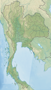
Map of Thailand | |
| Location | Kanchanaburi Province, Thailand |
| Nearest city | Sangkhlaburi |
| Coordinates | 15°01′20″N 98°35′50″E / 15.02222°N 98.59722°E |
| Area | 1,497 km² |
| Established | 1987 |
Khao Laem National Park is a park of about 1,500 square kilometers in western Thailand, located in the northern area of the Tenasserim Hills, Kanchanaburi Province. It is a part of the Western Forest Complex, a system of protected wilderness in the Dawna-Tenasserim Hills area of western Thailand.
The park surrounds the Khao Laem Reservoir in Kanchanaburi province about 340 km northwest of Bangkok. It is cut through by Road 323. The vegetation consists of mixed deciduous, hill evergreen and dry evergreen forest. It is adjacent to the Thungyai Naresuan Wildlife Sanctuary, which is situated to the northeast of Khao Laem National Park. Large animals of the area include tigers, elephants, gaurs, sambar deer, barking deer and wild boars.
External links
Wikimedia Commons has media related to Khao Laem National Park.

