Ynys Gwelltog
Appearance
| Geography | |
|---|---|
| Coordinates | 51°51′12.1″N 5°20′08.5″W / 51.853361°N 5.335694°W |
| Administration | |
Wales | |
| Demographics | |
| Population | 0 |
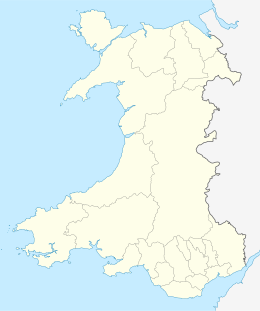
Ynys Gwelltog is a small tidal island south of Ramsey Island, Pembrokeshire, Wales. Its highest point is 56 metres[1] (184 feet).
Etymology
The island's name in Welsh means Grassy Island.[2]
History
In the past the island was considered suitable for pasturing two sheep.[2]
See also
References
- ^ Ynys Gwelltog on www.hill-bagging.co.uk
- ^ a b Will. Basil Jones and Edw. A. Freeman (1852). The History and Antiquities of Saint David's. Vol. 1. Pickering. Parker and Petheram. p. 18.
External links

![]() Media related to Ynys Gwelltog at Wikimedia Commons
Media related to Ynys Gwelltog at Wikimedia Commons


