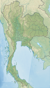
Kui Buri National Park
| Kui Buri National Park | |
|---|---|
 | |
| Location | Prachuap Khiri Khan Province, Thailand |
| Nearest city | Pranburi |
| Coordinates | 12°3′6″N 99°33′26″E / 12.05167°N 99.55722°E |
| Area | 969 km2 |
| Established | 1999 |
| Visitors | 40,592 (in 2007) |
Kui Buri National Park is a national park of Thailand in the Tenasserim Hills in Prachuap Khiri Khan Province. It was established in 1999.[1]
Geography
The park covers parts of the Pran Buri, Sam Roi Yot, and Mueang Prachuap Khiri Khan Districts of Prachuap Khiri Khan Province.
Flora
The forests contain dry evergreen and moist evergreen forests. Important trees are Dipterocarpus tuberculatus, Hopea odorata, Terminalia chebula, and different species of palms.
The park has more than 200,000 sandalwood trees. It is the only place in Thailand where sandalwood can be harvested for the cremation of royal family members. Nine trees were cut down for the cremation of King Bhumibol Adulyadej. A royal brahmin spent one month selecting trees meeting royal criteria: they must be dead and have been over 100 years old.[2]
Fauna
Some animals that can be found in the park:
- Asian elephants
- Gaur
- Malayan tapir
- Wild pig
- Leopard
- Tiger
- Serow
- Gibbons
- Macaque
- Langur
- Sambar deer
- Asiatic black bear
- Barking deer
- Fea's muntjac
- Banteng
- Lesser mouse deer
References
- ^ "Kui Buri National Park". Department of National Parks (DNP) Thailand. Archived from the original on 1 February 2016. Retrieved 31 August 2015.
- ^ Lersakvanitchakul, Kitchana (2019-05-03). "The Water of Life". The Nation. Retrieved 2019-05-03.

