Sambaa K'e Aerodrome
Appearance
Sambaa K'e Aerodrome | |||||||||||
|---|---|---|---|---|---|---|---|---|---|---|---|
| Summary | |||||||||||
| Airport type | Public | ||||||||||
| Operator | Government of the Northwest Territories | ||||||||||
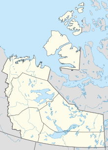
| Location | Sambaa K'e, Northwest Territories | ||||||||||
| Time zone | MST (UTC−07:00) | ||||||||||
| • Summer (DST) | MDT (UTC−06:00) | ||||||||||
| Elevation AMSL | 1,622 ft / 494 m | ||||||||||
| Coordinates | 60°25′25″N 121°16′11″W / 60.42361°N 121.26972°W | ||||||||||
| Map | |||||||||||
| Runways | |||||||||||
| |||||||||||
Sambaa K'e Aerodrome (TC LID: CEU9), is located adjacent to Sambaa K'e, Northwest Territories, Canada. A new and longer runway was opened November 13, 2014 and cost $11.2-million.[3]
See also
References
- ^ Canada Flight Supplement. Effective 0901Z 16 July 2020 to 0901Z 10 September 2020.
- ^ Synoptic/Metstat Station Information
- ^ Quenneville, Guy (2014-11-14). "Trout Lake, N.W.T., opens new airport runway". CBC News.


