Haiduan
Appearance
23°06′N 121°11′E / 23.100°N 121.183°E
Haiduan Township 海端鄉 | |
|---|---|
 | |
 Taiduan Township in Taitung County | |
| Location | Taitung County, Taiwan |
| Area | |
| • Land | 880 km2 (340 sq mi) |
| Population (December 2014) | |
| • Total | 4,378 |

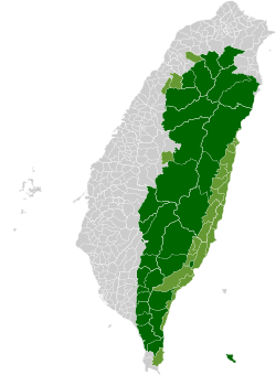
Haiduan Township (Chinese: 海端鄉; pinyin: Hǎiduān Xiāng; Wade–Giles: Hai3-tuan1 Hsiang1) is a mountain indigenous township in Taitung County, Taiwan. It has an area of 880.0382 km2, with a population of 4,378 as of December 2014. The main population is the Bunun people of the Taiwanese aborigines.
Administrative divisions
- Jiana Village
- Kanding Village
- Haiduan Village
- Guangyuan Village
- Wulu Village
- Lidao Village
Tourist attractions
- Bunun Cultural Museum[1]
- Chiaming Lake
- Lisong Hot Spring
- Xiangyang National Forest Recreation Area
- Lidao Scenic Area
- Lidao Settlement
- Pishan Hot Spring
- Tianlong Suspension Bridge
- Wulu Fort
- Wulu Gorge
- Wulu Hot Spring
- Yakou Scenic Area[2]
References
- ^ "Bunun Cultural Museum". Tour.taitung.gov.tw. Archived from the original on 2 February 2014. Retrieved 14 May 2014.
- ^ "East Rift Valley National Scenic Area::PDA". Erv-nsa.gov.tw. Retrieved 14 May 2014.
External links
Wikimedia Commons has media related to Haiduan Township, Taitung.


