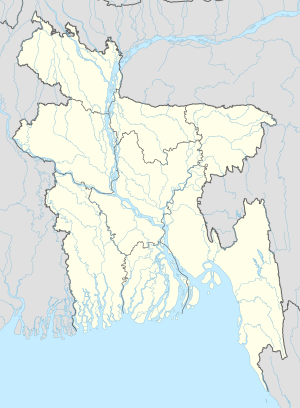
Noagaon, Sarail
Naogaon নাওগাঁ | |
|---|---|
| Coordinates: 24°6.9′N 91°8.6′E / 24.1150°N 91.1433°E | |
| Country | |
| Division | Chittagong Division |
| District | Brahmanbaria District |
| Upazila | Sarail Upazila |
| Population (2011) | |
| • Total | 37,863 |
| Time zone | UTC+6 (BST) |
| Postal code | 3430 |
| Website | official website |
Noagaon is a village in Noagaon Union, Sarail Upazila, Brahmanbaria District in the Chittagong Division of eastern Bangladesh.[1]
See also
References
- ^ "NGA GeoNames Database". National Geospatial-Intelligence Agency. Retrieved 14 July 2008.


