
Yuhuatai, Nanjing
Yuhuatai
雨花台区 | |||||||||||||||||||||||||||||||||
|---|---|---|---|---|---|---|---|---|---|---|---|---|---|---|---|---|---|---|---|---|---|---|---|---|---|---|---|---|---|---|---|---|---|
 Yuhuatai Location in Jiangsu | |||||||||||||||||||||||||||||||||
| Coordinates: 31°56′24″N 118°42′06″E / 31.9401°N 118.7017°E | |||||||||||||||||||||||||||||||||
| Country | People's Republic of China | ||||||||||||||||||||||||||||||||
| Province | Jiangsu | ||||||||||||||||||||||||||||||||
| Sub-provincial city | Nanjing | ||||||||||||||||||||||||||||||||
| Time zone | UTC+8 (China Standard) | ||||||||||||||||||||||||||||||||
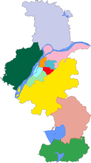
| Nanjing district map |
| ||||||||||||||||||||||||||||||||
Yuhuatai District (simplified Chinese: 雨花台区; traditional Chinese: 雨花台區; pinyin: Yǔhuātái Qū) is one of 11 districts of Nanjing, the capital of Jiangsu province, China.
See also
References
- www.xzqh.org (in Chinese)
Wikimedia Commons has media related to Yuhuatai District.

This Jiangsu location article is a stub. You can help Wikipedia by expanding it. |