Bogorodskoye Airport
Appearance
Bogorodskoye Airport Богородское аэропорт | |||||||||||
|---|---|---|---|---|---|---|---|---|---|---|---|
| Summary | |||||||||||
| Airport type | Public | ||||||||||
| Serves | Bogorodskoye | ||||||||||
| Location | Bogorodskoye, Khabarovsk Krai | ||||||||||
| Elevation AMSL | 148 ft / 45 m | ||||||||||
| Coordinates | 52°22′50″N 140°26′55″E / 52.38056°N 140.44861°E | ||||||||||
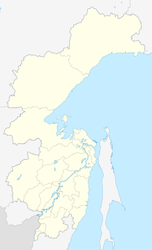
| Map | |||||||||||
 | |||||||||||
| Runways | |||||||||||
| |||||||||||
Bogorodskoye Airport (IATA: BQG, ICAO: UHNB) is an airport serving the village of Bogorodskoye, Khabarovsk Krai. Two airlines, Aurora and KhabAvia, fly to the airport.[3][4]
Airlines and destinations
As of January 2016, Aurora flies once a week to Yuzhno-Sakhalinsk via Nogliki using Dash 8-300 aircraft,[3] and KhabAvia operates once-a-week flights to Khabarovsk during the fall and winter.[5]
| Airlines | Destinations |
|---|---|
| Aurora | Nogliki, Yuzhno-Sakhalinsk |
| Khabarovsk Airlines | Seasonal: Khabarovsk |
See also
References
- ^ "Bogorodskoye - ch-aviation.com". Ch-aviation. Retrieved 13 January 2016.
- ^ "Аэропорт Богородское". Aviateka.ru. Retrieved 13 January 2016.
- ^ a b "Bogorodskoye Airport Schedule". Ch-aviation. Retrieved 13 January 2016. (Subscription required.)
- ^ "Khabarovsk Airport switches to winter schedule" (in Russian). Aviaport.ru. 26 October 2015. Retrieved 13 January 2016.
- ^ "History | KhabAvia" Archived 2016-03-04 at the Wayback Machine (in Russian). KhabAvia. Retrieved 13 January 2016.

