Beljina
Beljina
Бељина | |
|---|---|
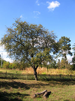
 A tree in Beljina | |
| Coordinates: 44°30′52″N 20°24′25″E / 44.5144°N 20.4069°E | |
| Country | |
| City | Belgrade |
| Municipality | Barajevo |
| Population (2011)[1] | |
• Total | 775 |
| Time zone | UTC+1 (CET) |
| • Summer (DST) | UTC+2 (CEST) |
| Area code | 011 |
| Vehicle registration | BG |
| RZS code | 703516[2] |
Beljina (Serbian Cyrillic: Бељина) is a suburban settlement of Belgrade, the capital of Serbia. It is located in the municipality of Barajevo. Beljina is a small rural settlement with 775 inhabitants as of 2011, located on the northeastern tip of the Kosmaj mountain, 12 km south of the municipal seat of Barajevo.[1] In 1956 the municipality of Beljina was created, comprising villages of Beljina, Arnajevo, Manić and Rožanci, but already in 1957 the municipality was dissolved and annexed to the municipality of Barajevo.
Demographics
In 2011, the settlement contained 270 households with an average of 2.87 members. There were 228 families, with 87% of the population being adults and an average age of 46.2.[1]
| Year | Pop. | ±% |
|---|---|---|
| 1948 | 977 | — |
| 1953 | 980 | +0.3% |
| 1961 | 954 | −2.7% |
| 1971 | 883 | −7.4% |
| 1981 | 892 | +1.0% |
| 1991 | 873 | −2.1% |
| 2002 | 810 | −7.2% |
| 2011 | 775 | −4.3% |
| Source: [3] | ||
References
- ^ a b c "Population by age and sex, by settlements". Statistical Office for the Republic of Serbia.
{{cite web}}: Cite has empty unknown parameter:|dead-url=(help) - ^ "Register of Territorial Units and GIS". Statistical Office for the Republic of Serbia.
- ^ "Comparative overview of the number of population in 1948, 1953, 1961, 1971, 1981, 1991, 2002 and 2011". Statistical Office for the Republic of Serbia.
{{cite web}}: Cite has empty unknown parameter:|dead-url=(help)
44°30′52″N 20°24′25″E / 44.51444°N 20.40694°E

