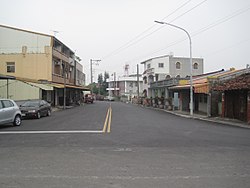
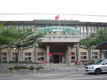
Xiaying District
Appearance
23°13′44.6″N 120°15′52.4″E / 23.229056°N 120.264556°E
Xiaying
下營區 | |
|---|---|
| Xiaying District | |
 | |
 Xiaying District in Tainan City | |
| Location | Tainan, Taiwan |
| Area | |
• Total | 34 km2 (13 sq mi) |
| Population (July 2018) | |
• Total | 24,033 |
| • Density | 710/km2 (1,800/sq mi) |

Xiaying District (Chinese: 下營區; Hanyu Pinyin: Xiàyíng Qū; Tongyong Pinyin: Siàyíng Cyu; Wade–Giles: Hsia4-ying2 Ch'ü1; Pe̍h-ōe-jī: Ē-iâⁿ-khu) is a rural district of about 24,755 residents in Tainan, Taiwan.[1]
History
After the handover of Taiwan from Japan to the Republic of China in 1945, Xiaying was organized as a rural township of Tainan County. On 25 December 2010, Tainan County was merged with Tainan City and Xiaying was upgraded to a district of the city.
Administrative divisions
Xiaying, Renli, Zhainei, Houjie, Xinxing, Yingqian, Datun, Dabei, Maogang, Zhongying, Kaihua, Xilian, Hejian, Jiazhong and Hongcuo Village.
Tourist attractions
Notable natives
- Chen Wei-zen, Minister of the Interior (2014–2016)
- Yen Shui-long, former painter and sculptor
References
- ^ "Archived copy". Archived from the original on 21 February 2014. Retrieved 8 February 2014.
{{cite web}}: CS1 maint: archived copy as title (link)
External links
Wikimedia Commons has media related to Xiaying District, Tainan.
