
Monmouth Heights at Marlboro, New Jersey
Monmouth Heights at Marlboro, New Jersey | |
|---|---|
 Looking east along Ogden Avenue from Route 79 | |
 Monmouth Heights at Marlboro, New Jersey Location of Monmouth Heights at Marlboro in Monmouth County Inset: Location of county within the state of New Jersey  Monmouth Heights at Marlboro, New Jersey Monmouth Heights at Marlboro, New Jersey (New Jersey)  Monmouth Heights at Marlboro, New Jersey Monmouth Heights at Marlboro, New Jersey (the United States) | |
| Coordinates: 40°19′40″N 74°14′36″W / 40.32778°N 74.24333°W | |
| Country | |
| State | |
| County | Monmouth |
| Township | Marlboro |
| Elevation | 125 ft (38 m) |
| GNIS feature ID | 883509[1] |
Monmouth Heights at Marlboro is an unincorporated community located within Marlboro Township in Monmouth County, New Jersey, United States. The housing development was created in the 1960s by Levitt & Sons though some protests occurred by long-time residents of Marlboro Township at the time of its creation.[2] The community is located along New Jersey Route 79 across the highway from Marlboro High School.[3]
References
- ^ a b "Monmouth Heights at Marlboro". Geographic Names Information System. United States Geological Survey, United States Department of the Interior.
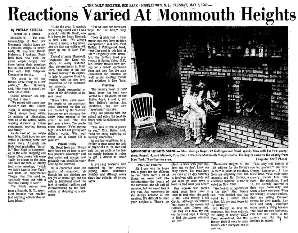
- ^ Spiegel, Phyllis (May 6, 1969). "Reactions Varied At Monmouth Heights". The Daily Register (Red Bank). Retrieved September 13, 2016 – via Marlboro History.
- ^ Google (February 27, 2015). "Monmouth Heights at Marlboro, New Jersey" (Map). Google Maps. Google. Retrieved February 27, 2015.
External links

This Monmouth County, New Jersey state location article is a stub. You can help Wikipedia by expanding it. |