
Navesink Beach, New Jersey
Navesink Beach, New Jersey | |
|---|---|
 Route 36 and Waterview Way looking north; the entrance to Sandy Hook is ahead | |
| Country | |
| State | |
| County | Monmouth |
| Borough | Sea Bright |
| Elevation | 7 ft (2 m) |
| GNIS feature ID | 882600[1] |
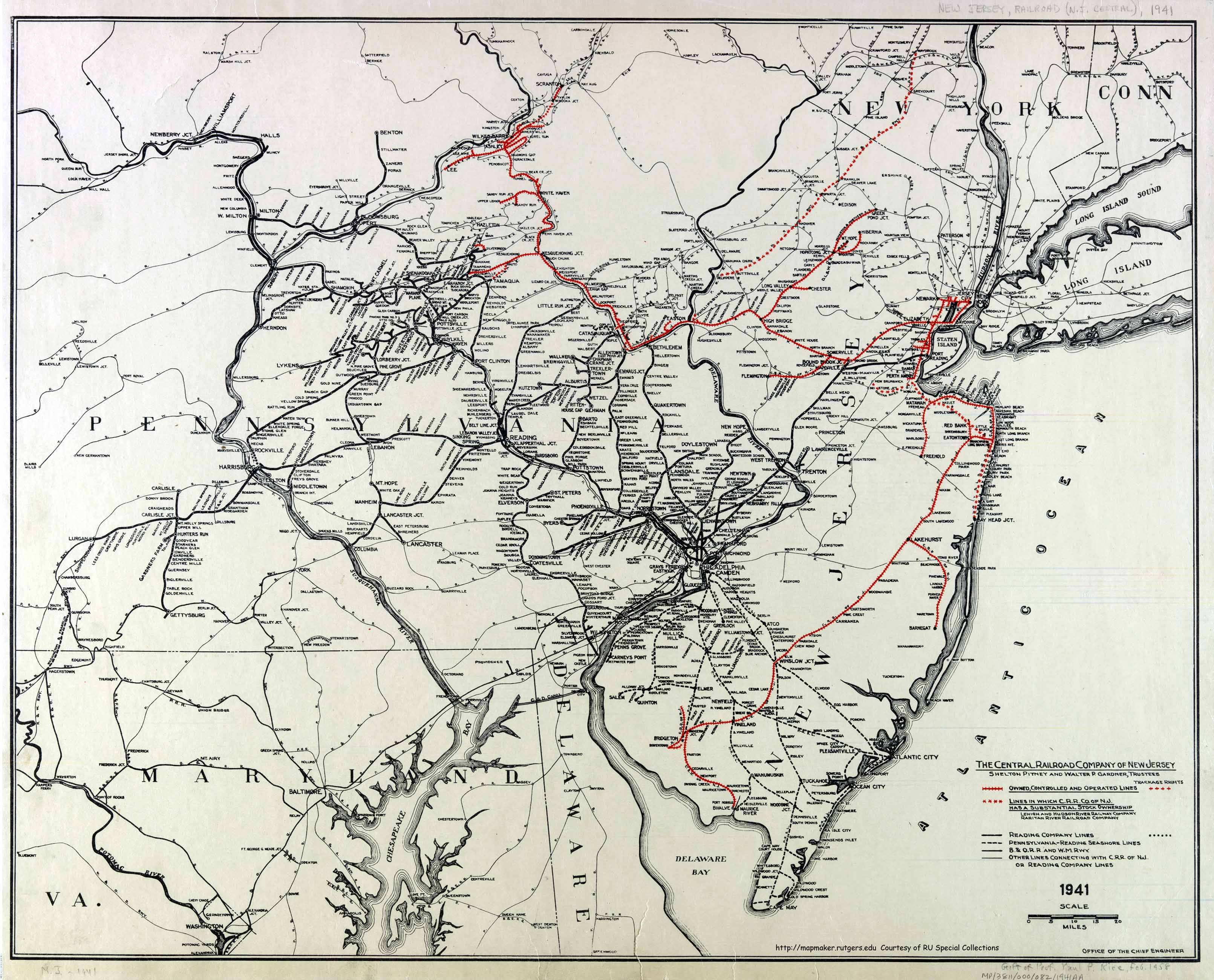
Navesink Beach is an unincorporated community located within Sea Bright in Monmouth County, New Jersey, United States.[2] It is one of the four main built-up areas of Sea Bright and is the northernmost settled area of the borough.[2] Navesink Beach is a former stop on the New Jersey Southern Railroad.[3]
References
- ^ a b "Navesink Beach". Geographic Names Information System. United States Geological Survey, United States Department of the Interior.
- ^ a b Google (February 27, 2015). "Navesink Beach, Sea Bright, New Jersey" (Map). Google Maps. Google. Retrieved February 27, 2015.
- ^ Office of the Chief Engineer (1941). The Central Railroad Company of New Jersey (Map). Central Railroad of New Jersey. Retrieved October 4, 2015.

This Monmouth County, New Jersey state location article is a stub. You can help Wikipedia by expanding it. |