Siiddašjávri
From Wikipedia, the free encyclopedia
The printable version is no longer supported and may have rendering errors. Please update your browser bookmarks and please use the default browser print function instead.
Lake in Sweden and Norway
| Siiddašjávri (Northern Sami) Sijdasjávrre (Lule Sami) Sitasjaure (Swedish) | |
|---|---|
| Location | Gällivare, Norrbottenand Narvik, Nordland |
| Coordinates | 68°05′48″N 17°13′43″E / 68.0968°N 17.2287°E / 68.0968; 17.2287 |
| Basin countries | Sweden and Norway |
| Max. length | 35 kilometres (22 mi) |
| Max. width | 5 kilometres (3.1 mi) |
| Surface area | 71.91 km2 (27.76 sq mi) (0.96 km2 in Norway) |
| Shore length1 | 97.27 kilometres (60.44 mi) |
| Surface elevation | 604 metres (1,982 ft) |
| References | NVE |
| 1 Shore length is not a well-defined measure. | |
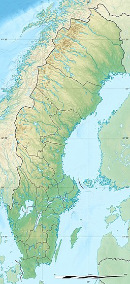
Siiddašjávri (Northern Sami) or Sijdasjávrre (Lule Sami) or Sitasjaure (Swedish) is a lake on the border between Norway and Sweden. The lake covers an area of 71.91 square kilometres (27.76 sq mi), with 0.96 square kilometres (0.37 sq mi) of the lake in Norway (Narvik Municipality in Nordland county) and 70.95 square kilometres (27.39 sq mi) in Sweden (Gällivare Municipality in Norrbotten County). The name of the lake comes from the Sami languages, with the ending -jávri or -jávrre being the word for "lake".[1]
See also
References
- ^ "Sijdasjávrre" (in Norwegian). yr.no. Retrieved 2012-05-21.
This article about a location in Norrbotten County, Sweden is a stub. You can help Wikipedia by expanding it. |
Hidden categories:
- CS1 Norwegian-language sources (no)
- Articles with short description
- Short description matches Wikidata
- Articles containing Northern Sami-language text
- Articles containing Lule Sami-language text
- Articles containing Swedish-language text
- Coordinates on Wikidata
- Articles using infobox body of water without image
- Articles using infobox body of water without image bathymetry
- All stub articles


