Litlumvatnet
This is the current revision of this page, as edited by Entranced98 (talk | contribs) at 23:08, 15 July 2023 (Adding local short description: "Lake in Sweden and Norway", overriding Wikidata description "lake in Sweden-Norway"). The present address (URL) is a permanent link to this version.
| Litlumvatnet (Norwegian) Lill-Uman (Swedish) Jovsjaevrie (Southern Sami) | |
|---|---|
| Location | Rana, Nordland Storuman in Västerbotten |
| Coordinates | 66°09′15″N 14°58′41″E / 66.1541°N 14.9781°E / 66.1541; 14.9781 |
| Basin countries | Norway and Sweden |
| Max. length | 4 kilometres (2.5 mi) |
| Max. width | 2 kilometres (1.2 mi) |
| Surface area | 5.24 km2 (2.02 sq mi) (with 1.8 km² in Norway, the rest is in Sweden) |
| Shore length1 | 13.71 kilometres (8.52 mi) |
| Surface elevation | 629 metres (2,064 ft) |
| References | NVE |
| 1 Shore length is not a well-defined measure. | |
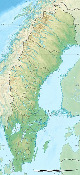
Litlumvatnet (Norwegian), Lill-Uman (Swedish), or Jovsjaevrie (Southern Sami) is a lake on the border of Norway and Sweden. The Norwegian side lies in Rana Municipality in Nordland county and the Swedish side lies in Storuman Municipality in Västerbotten County. The lake lies about 40 kilometres (25 mi) southeast of the town of Mo i Rana. The lake is 5.24 square kilometres (2.02 sq mi) and about 1.8 square kilometres (0.69 sq mi) lies inside Norway and the rest lies in Sweden.[1]
See also[edit]
References[edit]
- ^ "Litlumvatnet" (in Norwegian). yr.no. Retrieved 2011-12-19.
This article about a location in Västerbotten County, Sweden is a stub. You can help Wikipedia by expanding it. |
- CS1 Norwegian-language sources (no)
- Articles with short description
- Short description is different from Wikidata
- Articles containing Norwegian-language text
- Articles containing Swedish-language text
- Articles containing Southern Sami-language text
- Coordinates on Wikidata
- Articles using infobox body of water without image
- Articles using infobox body of water without image bathymetry
- All stub articles


