Meenuliyan Para
This article has multiple issues. Please help improve it or discuss these issues on the talk page. (Learn how and when to remove these messages)
|
| Meenuliyanpara | |
|---|---|
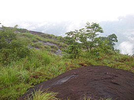
 View from top of Meenuliyanpara | |
| Highest point | |
| Elevation | 1,220 m (4,000 ft) |
| Coordinates | 10°00′08″N 76°51′34″E / 10.002335°N 76.859363°E |
| Geography | |
| Parent range | Western Ghats |
| Climbing | |
| Easiest route | Hike |
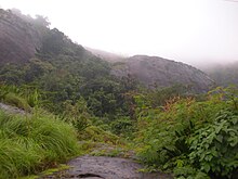
Meenuliyan Para or Meenulinjan para (മീനുളിയന് പാറ) is a mountain peak situated near Thodupuzha in Idukki district, in the Indian state of Kerala. 'Para' in Malayalam language means a rock. Meenuliyan para is noted for a huge rock that rises more than 4000 feet and has about two acres of evergreen forest on top of it. The rock itself covers an area more than 500 acres. The surface of this huge rock mountain looks like fish scales and hence the mountain gets the name ‘ Meenuliyan Para’.[1] The lofty peaks of the Meenuliyan para are covered in mist on rainy days but on a fine day the lower Periyar area, Bhoothathankettu and even Ernakulam are visible from these heights. Meenuliyan para is located 47 km from Muvattupuzha and 51 km from Thodupuzha. Meenuliyan para can be reached only by a pedestrian path for about 3 km from Pattayakkudy, in Vannappuram Panchayath in Idukki district. Cochin Port and parts of Thrissur district can also be seen from top of the Meenuliyan para.[2]


