Srednekolymsk Airport
Appearance
Srednekolymsk Airport Аэропорт Среднеколымск | |||||||||||
|---|---|---|---|---|---|---|---|---|---|---|---|
| Summary | |||||||||||
| Airport type | Public | ||||||||||
| Serves | Srednekolymsk, Srednekolymsky District, Sakha Republic, Russia | ||||||||||
| Coordinates | 67°28′47″N 153°44′06″E / 67.47972°N 153.73500°E | ||||||||||
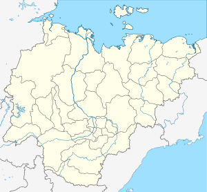
| Maps | |||||||||||
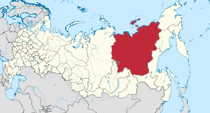
 Sakha Republic in Russia | |||||||||||
| Runways | |||||||||||
| |||||||||||
Srednekolymsk Airport (IATA: SEK) is an airport serving the urban locality of Srednekolymsk, Srednekolymsky District, in the Sakha Republic of Russia. The distance to Srednekolymsk town center is 1 km. The runway is almost directed north/south and the approach/take-off is straight over the town if using the south side of the runway.
Airlines and destinations
| Airlines | Destinations |
|---|---|
| Polar Airlines | Yakutsk |
References
- ^ Airport information for SEK at Great Circle Mapper.
- ^ Airport information for Srednekolymsk Airport at Transport Search website.
External links

