Palia Airstrip
Appearance
Lakhimpur Kheri Airport palia लखीमपुर खीरी हवाई अड्डा لکھیم پور کھیری ہوائی اڈا Paliya Airprt | |||||||||||
|---|---|---|---|---|---|---|---|---|---|---|---|
| Summary | |||||||||||
| Airport type | Public | ||||||||||
| Owner | उत्तर प्रदेश सरकार | ||||||||||
| Operator | Airports Authority of India | ||||||||||
| Serves | Lakhimpur Kheri | ||||||||||
| Location | Palia Kalan, Lakhimpur Kheri, Uttar Pradesh, India. | ||||||||||
| Elevation AMSL | 518 ft / 158 m | ||||||||||
| Coordinates | 28°28′03″N 080°34′39″E / 28.46750°N 80.57750°E | ||||||||||
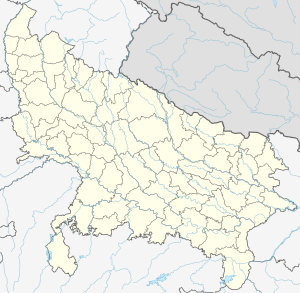
| Map | |||||||||||
 | |||||||||||
| Runways | |||||||||||
| |||||||||||
Lakhimpur Kheri Airport (Hindi: लखीमपुर खीरी हवाई अड्डा, Urdu: لکھیم پور کھیری ہوائی اڈا) also known as Palia Airport is situated near Dudhwa National Park at Palia Kalan in Lakhimpur Kheri District in the Indian state of Uttar Pradesh, 90 km from Lakhimpur City. It is not operational..
References
Flyzone Aviation Pvt. Ltd.Lakhimpur-Kheri

