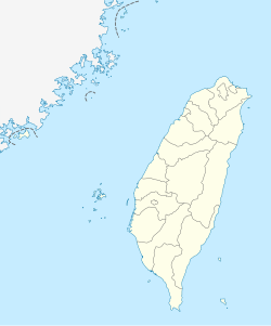
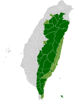
Majia, Pingtung
Majia Township 瑪家鄉 | |
|---|---|
 | |
 Majia Township in Pingtung County | |
| Coordinates: 22°40′N 120°40′E / 22.667°N 120.667°E | |
| Location | Pingtung County, Taiwan |
| Area | |
| • Total | 79 km2 (31 sq mi) |
| Population (July 2018) | |
| • Total | 6,820 |
| • Density | 86/km2 (220/sq mi) |
Majia Township (Chinese: 瑪家鄉; pinyin: Mǎjiā Xiāng) is a mountain indigenous township in Pingtung County, Taiwan. The area is known as Makazayazaya (瑪家雑牙雑牙社) in the Paiwan language, and the Taiwanese mountain pitviper (Ovophis monticola makazayazaya) is named after it.[1] The main population is the indigenous Paiwan people.
History
During the Japanese era, Majia was grouped with modern-day Sandimen Township and Wutai Township as "Aboriginal Area" (蕃地), which was governed under Heitō District (屏東郡) of Takao Prefecture.
Geography
- Area: 78.7 square kilometres (30.4 sq mi)
- Population: 6,718 people (2014)
Administrative divisions
The township comprises six villages: Beiye, Jiayi, Liangshan, Majia, Paiwan and Sanhe.
References
Wikimedia Commons has media related to Majia Township, Pingtung County.


