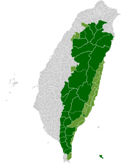
Zhuoxi
Zhuoxi Township
卓溪鄉 Jhuosi | |
|---|---|
 | |
 | |
| Coordinates: 23°20′00″N 121°17′00″E / 23.33333°N 121.28333°E | |
| Country | Taiwan |
| Region | Eastern Taiwan |
| Government | |
| • Type | Township |
| Area | |
| • Total | 1,021.3130 km2 (394.3312 sq mi) |
| Population (December 2014) | |
| • Total | 6,210 |
| Time zone | UTC+8 (CST) |
| Post code | 982 |
| Subdivision | 6 Villages |
| Website | Zhuoxi Township Website |
Zhuoxi Township (Chinese: 卓溪鄉; pinyin: Zhuóxī Xiāng) is a mountain indigenous township in Hualien County, Taiwan, bisected by the Tropic of Cancer. It lies on the Central Mountain Range (up to 95% of its area) with steep mountains which makes it the highest township in the county.[1] The population is 6,210 inhabitants, including Bunun people, Truku people and Seediq people. The main economic activity is agriculture.
Administrative divisions
The township comprises six villages: Gufeng, Lishan, Lunshan, Taiping, Zhuoqing and Zhuoxi.
Tourist attractions

- East Rift Valley National Scenic Park
- Luntian Recreation Area
- Nan'an Waterfall
- Walami Hiking Trail
- Yushan National Park
Transportation
Wikimedia Commons has media related to Zhuoxi Township, Hualien.


