National Highway 566 (India)
From Wikipedia, the free encyclopedia
This is an old revision of this page, as edited by Monkbot (talk | contribs) at 03:42, 23 December 2020 (Task 18 (cosmetic): eval 1 template: hyphenate params (1×);). The present address (URL) is a permanent link to this revision, which may differ significantly from the current revision.
Revision as of 03:42, 23 December 2020 by Monkbot (talk | contribs) (Task 18 (cosmetic): eval 1 template: hyphenate params (1×);)
| National Highway 566 | ||||
|---|---|---|---|---|
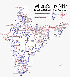
 Schematic map of National Highways in India | ||||
| Route information | ||||
| Length | 12.2 km (7.6 mi) | |||
| Major junctions | ||||
| From | Ponda | |||
| To | Vasco | |||
| Location | ||||
| Country | India | |||
| Primary destinations | Verna | |||
| Highway system | ||||
| ||||
National Highway 566 (NH 566) is a National Highway in India.[1]
References
- ^ "Rationalisation of Numbering Systems of National Highways" (PDF). New Delhi: Department of Road Transport and Highways. Archived from the original (PDF) on 31 March 2012. Retrieved 3 April 2012.


