National Highway 26 (India) (new numbering)
Appearance
| National Highway 26 | ||||
|---|---|---|---|---|
 | ||||
| Route information | ||||
| Length | 551 km (342 mi) | |||
| Major junctions | ||||
| From | Raipur, Chhattisgarh | |||
| To | Natavalasa Road, Vizianagaram district, Andhra Pradesh | |||
| Location | ||||
| Country | India | |||
| States | Chhattisgarh, Odisha, Andhra Pradesh | |||
| Primary destinations | Raipur - Balangir - Vizianagaram | |||
| Highway system | ||||
| ||||
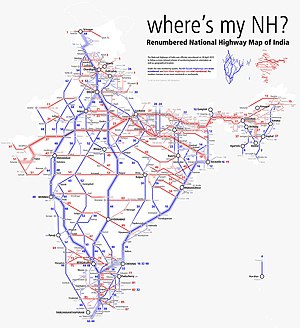
National Highway 26 (NH 26), (previously National Highway 43), is a National Highway in India, that connects Raipur in Chhattisgarh and passes through Odisha to connect with Natavalasa in Vizianagaram district of Andhra Pradesh. It connects National Highway 5 and National Highway 6 and transverses the Eastern Ghats.[1][2]
Route
The total length of the highway in Andhra Pradesh is 90.33 km (56.13 mi).[2]
Termini
The north terminus, Borigumma is a junction of 2 highways: NH26 to Bargarh; and NH 63, towards Jagdalpur. The south end, Natavalasa, is on NH 16, that runs between Kolkata and Chennai.
See also
References
Wikimedia Commons has media related to NH 43 (India).
- ^ "Rationalisation of Numbering Systems of National Highways" (PDF). New Delhi: Department of Road Transport and Highways. Retrieved 3 April 2012.
- ^ a b "List of National Highways passing through A.P. State". Roads and Buildings Department. Government of Andhra Pradesh. Retrieved 11 February 2016.


