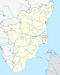
Potheri railway station
This is an old revision of this page, as edited by Colonies Chris (talk | contribs) at 16:12, 27 January 2021 (minor fixes, replaced: India → India, - → – (2), {{Chennai Topics| → {{Chennai topics|, [[Southern Railway (India)| → [[Southern Railway zone| (2)). The present address (URL) is a permanent link to this revision, which may differ significantly from the current revision.
This article relies largely or entirely on a single source. Relevant discussion may be found on the talk page. Please help improve this article by introducing citations to additional sources. Find sources: "Potheri railway station" – news · newspapers · books · scholar · JSTOR (February 2019) |
Potheri | |||||
|---|---|---|---|---|---|
| Station of Chennai Suburban Railway and Southern Railways | |||||
 | |||||
| General information | |||||
| Location | National Highway 32, Potheri, Kanchipuram district, Tamil Nadu, India | ||||
| Coordinates | 12°49′18″N 80°2′14″E / 12.82167°N 80.03722°E / 12.82167; 80.03722 | ||||
| Owned by | Ministry of Railways, Indian Railways | ||||
| Line(s) | South and South West lines of Chennai Suburban Railway | ||||
| Construction | |||||
| Structure type | Standard on-ground station | ||||
| Parking | Available | ||||
| Other information | |||||
| Station code | POTI | ||||
| Fare zone | Southern Railways | ||||
| History | |||||
| Electrified | 9 January 1965[1] | ||||
| Previous names | South Indian Railway | ||||
| |||||
Potheri railway station is one of the railway stations of the Chennai Beach–Chengalpattu section of the Chennai Suburban Railway Network. It serves the neighbourhood of Potheri, a suburb of Chennai. It is situated at a distance of 43 km (27 mi) from Chennai Beach junction and is located on NH 45 in Potheri, with an elevation of 45 m (148 ft) above sea level. The station also serves the Livestock Research Station, Kattupakkam.
History
The lines at the station were electrified on 9 January 1965, with the electrification of the Tambaram—Chengalpattu section.[1]
See also
References
- ^ a b "IR Electrification Chronology up to 31.03.2004". History of Electrification. IRFCA.org. Retrieved 17 November 2012.
External links
Potheri | |||||||
|---|---|---|---|---|---|---|---|
| |||||||
Potheri | |||||||
|---|---|---|---|---|---|---|---|
| |||||||
This article about a railway station in the Indian state of Tamil Nadu is a stub. You can help Wikipedia by expanding it. |
- Pages using gadget WikiMiniAtlas
- Articles needing additional references from February 2019
- All articles needing additional references
- Use dmy dates from January 2016
- Use Indian English from January 2016
- All Wikipedia articles written in Indian English
- Coordinates on Wikidata
- Pages with no open date in Infobox station
- Pages using infobox station with deprecated parameters
- All stub articles


