
Dongfang, Hainan
Dongfang
东方市 | |
|---|---|
 Map showing entire Qionghai area within Hainan province | |
| Coordinates: 19°06′N 108°39′E / 19.100°N 108.650°E | |
| Country | People's Republic of China |
| Province | Hainan |
| Township-level divisions | 8 towns 2 townships |
| Municipal seat | Basuo |
| Area | |
| • Total | 2,256 km2 (871 sq mi) |
| Elevation | 11 m (35 ft) |
| Population | |
| • Total | 435,000 |
| • Density | 190/km2 (500/sq mi) |
| Time zone | UTC+8 (China Standard) |
| Postal code | 572600 |
| Area code | 0898 |
| Licence plates | 琼D |
| Website | dongfang |
Dongfang (simplified Chinese: 东方; traditional Chinese: 東方; pinyin: Dōngfāng; lit. 'the East') is one of the seven county-level cities of Hainan province, China. Although called a "city", Dongfang refers to a large land area in Hainan - an area which was once a county. Within this area is the main city, Dongfang City. It is located on the western coast of Hainan Island facing Vietnam across the Gulf of Tonkin, and in 2004 had a population of 435,000.
As all county-level units, Dongfang is administratively divided into township-level units (see the list). The main urban area of Dongfang (i.e., what used to be called "the county seat", when Dongfang was a county) is the town of Basuo.
The former county of Ganen (postal: Kumyan, Kanem or Kamyan) is now part of the city.
Geography and climate[edit]
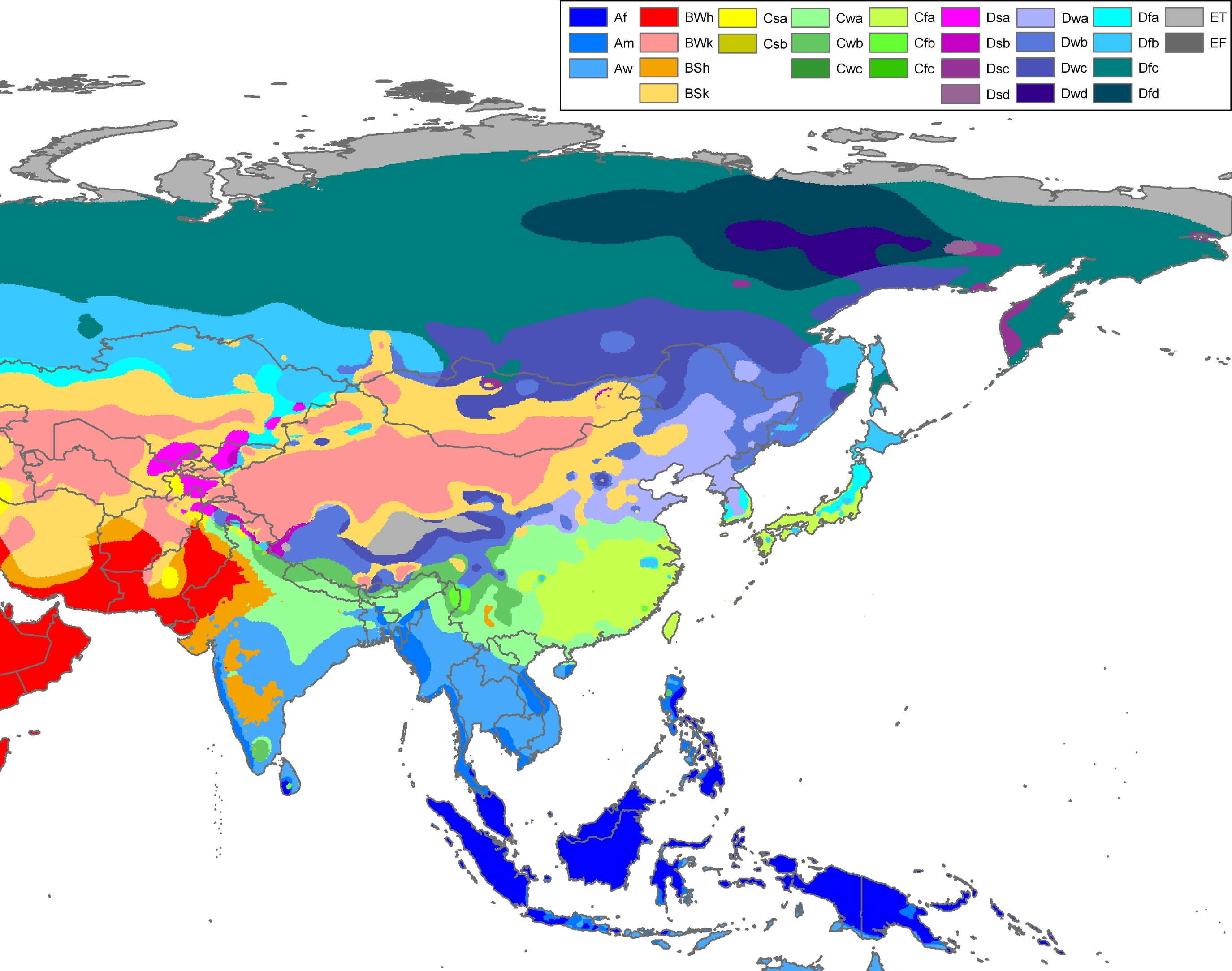
Dongfang has a tropical wet and dry climate (Köppen Aw).[1] Monsoonal influences are strong, and the two seasons are the wet season and the dry season (November to April), when very little rainfall occurs. Rainfall is heaviest and most frequent from August to October, when typhoons may strike, and averages an annual total of 1,042.1 mm (41.0 in), far lower than much of the island. January through March features the highest relative humidity levels of the year, while May through August is very sunny, consistently averaging above 60% of possible sunshine. With monthly percent possible sunshine ranging from 50% in February to 67% in May, the city receives 2,574.3 hours of sunshine annually, a level not seen in the southern half of China outside of Tibet. The average low temperature remains above 26.0 °C (78.8 °F) from May to August,and the region has large tracts of virgin forest, gradually transitioning from desert steppe on the western coast to tropical seasonal forest in the eastern mountains.
| Climate data for Dongfang (1991−2020 normals, extremes 1981–2010) | |||||||||||||
|---|---|---|---|---|---|---|---|---|---|---|---|---|---|
| Month | Jan | Feb | Mar | Apr | May | Jun | Jul | Aug | Sep | Oct | Nov | Dec | Year |
| Record high °C (°F) | 31.1 (88.0) |
32.2 (90.0) |
33.1 (91.6) |
35.5 (95.9) |
36.1 (97.0) |
36.5 (97.7) |
35.0 (95.0) |
35.3 (95.5) |
35.3 (95.5) |
34.5 (94.1) |
32.0 (89.6) |
30.9 (87.6) |
36.5 (97.7) |
| Mean daily maximum °C (°F) | 23.5 (74.3) |
24.2 (75.6) |
26.8 (80.2) |
30.1 (86.2) |
32.2 (90.0) |
32.6 (90.7) |
32.1 (89.8) |
31.9 (89.4) |
31.3 (88.3) |
30.2 (86.4) |
27.9 (82.2) |
24.7 (76.5) |
29.0 (84.1) |
| Daily mean °C (°F) | 19.5 (67.1) |
20.5 (68.9) |
23.2 (73.8) |
26.7 (80.1) |
29.1 (84.4) |
30.0 (86.0) |
29.5 (85.1) |
29.0 (84.2) |
28.0 (82.4) |
26.4 (79.5) |
23.9 (75.0) |
20.7 (69.3) |
25.5 (78.0) |
| Mean daily minimum °C (°F) | 16.7 (62.1) |
17.8 (64.0) |
20.5 (68.9) |
23.9 (75.0) |
26.4 (79.5) |
27.7 (81.9) |
27.1 (80.8) |
26.4 (79.5) |
25.3 (77.5) |
23.6 (74.5) |
21.1 (70.0) |
18.0 (64.4) |
22.9 (73.2) |
| Record low °C (°F) | 8.8 (47.8) |
9.0 (48.2) |
7.6 (45.7) |
14.6 (58.3) |
18.2 (64.8) |
22.4 (72.3) |
22.0 (71.6) |
21.9 (71.4) |
18.7 (65.7) |
15.5 (59.9) |
11.7 (53.1) |
6.4 (43.5) |
6.4 (43.5) |
| Average precipitation mm (inches) | 8.1 (0.32) |
10.2 (0.40) |
20.1 (0.79) |
30.3 (1.19) |
76.6 (3.02) |
124.9 (4.92) |
188.0 (7.40) |
244.2 (9.61) |
179.1 (7.05) |
109.5 (4.31) |
33.9 (1.33) |
17.2 (0.68) |
1,042.1 (41.02) |
| Average precipitation days (≥ 0.1 mm) | 3.3 | 3.7 | 4.5 | 4.1 | 6.0 | 6.2 | 8.9 | 11.5 | 12.8 | 9.7 | 3.8 | 3.2 | 77.7 |
| Average relative humidity (%) | 80 | 81 | 80 | 77 | 74 | 74 | 76 | 79 | 81 | 78 | 77 | 77 | 78 |
| Mean monthly sunshine hours | 175.2 | 163.7 | 185.8 | 223.7 | 269.4 | 254.2 | 250.5 | 234.9 | 210.1 | 222.1 | 207.2 | 177.5 | 2,574.3 |
| Percent possible sunshine | 51 | 50 | 50 | 59 | 67 | 64 | 62 | 60 | 58 | 62 | 62 | 52 | 58 |
| Source: China Meteorological Administration[2][3][4] | |||||||||||||
Administrative divisions[edit]
Dongfang administers eight towns and two townships:[5]
Towns:
- Basuo (八所镇)
- Donghe (东河镇)
- Datian (大田镇)
- Gancheng (感城镇)
- Banqiao (板桥镇)
- Sanjia (三家镇)
- Sigeng (四更镇)
- Xinlong (新龙镇)
Townships:
- Tian'an Township (天安乡)
- Jiangbian Township (江边乡)
References[edit]
- ^ Peel, M. C. and Finlayson, B. L. and McMahon, T. A. (2007). Updated Asian Map of the Köppen climate classification system. Hydrol. Earth Syst. Sci. 11: 1633-1644.
- ^ 中国气象数据网 – WeatherBk Data (in Simplified Chinese). China Meteorological Administration. Retrieved 17 June 2023.
- ^ 中国气象数据网 (in Simplified Chinese). China Meteorological Administration. Retrieved 17 June 2023.
- ^ 中国地面国际交换站气候标准值月值数据集(1971-2000年). China Meteorological Administration. Archived from the original on 2013-09-21. Retrieved 2010-05-25.
- ^ 2011年统计用区划代码和城乡划分代码:东方市 (in Chinese (China)). National Bureau of Statistics of the People's Republic of China. Archived from the original on 2012-07-03. Retrieved 2013-02-18.
External links[edit]
County-level divisions of Hainan | ||||||||||||||||||
|---|---|---|---|---|---|---|---|---|---|---|---|---|---|---|---|---|---|---|
| Prefecture-level cities |
|  | ||||||||||||||||
| Provincial administered |
| |||||||||||||||||
Hainan topics | |
|---|---|
| General | |
| Geography | |
| Flora and fauna | |
| Media | |
| Transportation | |
| Education | |
| Demographics | |
| Buildings and structures | |
| Cuisine | |
| Visitor attractions | |